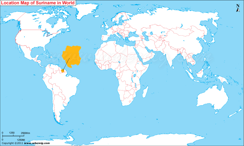
Where is Suriname Located?
The given Suriname location map shows that Suriname is located in the northern part of South America.Suriname is the smallest sovereign state of South America and Paramaribo is the capital and largest city of the country. The large chunk of people lives in and around the capital city Paramaribo.
The government type of Suriname is a parliamentary representative democratic republic featured with multi-party system. Under this system, the President of Suriname is the head of government.
Moreover, the economy of the country is largely depends upon mining and agriculture. The bauxite industry alone accounts more than 15% of GDP and 70% of export revenue. Besides, Suriname also exports rice, bananas, and shrimp.
| Country | Suriname |
| Continent | South America |
| Where is Located | Suriname is a country located in the North-Eastern South America |
| Coordinates | 5°50'N55°10'W |
| Capital | Paramaribo |
| Largest City | Paramaribo |
| Neighboring Countries | Brazil, French Guiana (France), Guyana |
| Administrative divisions | 10 districts |
| Area | 163,821 km (92nd) 63,251 sq mi |
| Population | 566846 2013 estimate |
| Official Language | Dutch |
| Currency | Surinamese dollar |
| ISO Alpha-2 Code | SR |
| ISO Alpha-3 Code | SUR |
| ISO Numeric Code | 740 |
| GDP | $5.060 billion 2011 estimate |
| Calling code | 597 |
| Time Zone | SRT (UTC-3) |
| Internet TLD | .sr |


