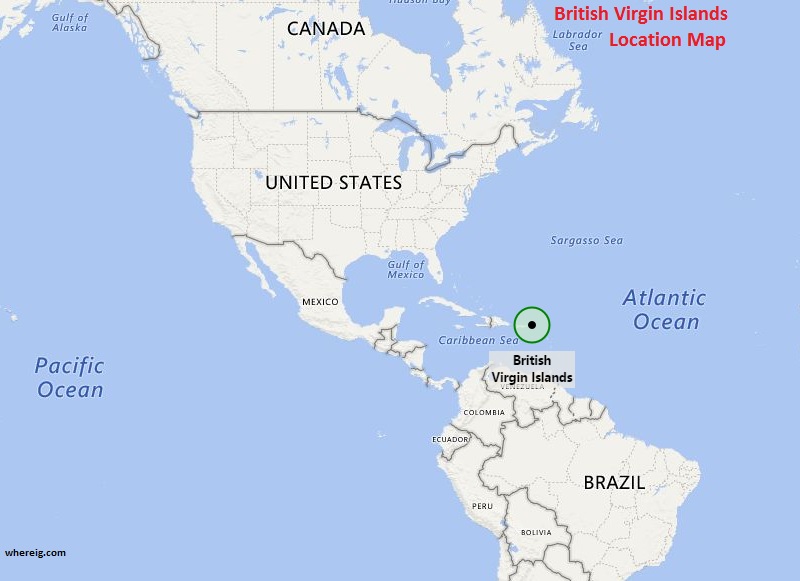
As shown on the location map of British Virgin Islands that British Virgin Island is located in the Caribbean Sea and it is the part of Virgin Islands archipelago.
As shown on the British Virgin Islands map that the Virgin Islands archipelago is politically divided into two parts the southern-west part is US Virgin Islands and north-eastern part is British Virgin Islands. As name suggests, it is British overseas territory.
The British Virgin Islands include many small and medium size islands important of them are Tortola, Anegada, Virgin Gorda, and Jost Van Dyke. Besides, there are more than 50 smaller islands and cays in which about 15 islands are inhabited. The capital, city Road Town, is located on Tortola Island. It is the largest island measuring approximately 20 km long and 5 km wide. The islands have about 22,000 people, of whom approximately 18,000 people live on Tortola.
The British Virgin Islands have a tropical climate, which is moderated by the trade winds. Due to oceanic location, temperatures vary a little throughout the year.
Moreover, the economy of the islands depends upon the "twin pillars" i.e. tourism and financial services. British Virgin Islands have beautiful location, tantalizing landscapes, brightening beaches etc that attract tourists from all over the world.
North America and Caribbean Countries Location Map
- Where is Antigua and Barbuda
- Where is Bahamas
- Where is Barbados
- Where is Belize
- Where is Canada
- Where is Costa Rica
- Where is Cuba
- Where is Dominica
- Where is Dominican Republic
- El Salvador
- Where is Guatemala
- Where is Greenland


