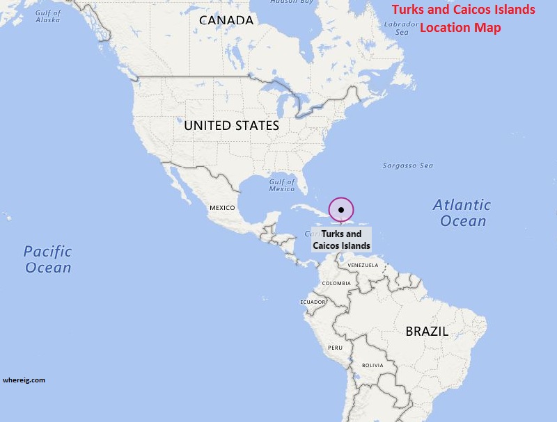
The Turks and Caicos Islands location map shows that Turks and Caicos Islands is located in the Caribbean Sea.
Turks and Caicos Islands map also shows that it is group of islands that is divided into two groups – the larger one is Caicos Islands group and the smaller one is Turks Islands group. The nearby neighbors of Turks and Caicos Islands are Bahamas and Hispaniola. The climate type of Turks and Caicos Islands is a tropical monsoon climate.
The capital city is Cockburn Town situated on the Grand Turk Island. Currently, Turks and Caicos Islands is the British Overseas Territory and hence directly governed by the UK.
Moreover, Turks and Caicos is known for tourism and as an offshore financial centre. Hence, the economy is largely depending upon these sectors only. Interestingly, these group of islands are the house of many Hollywood actors.
| Country | Turks Caicos Islands |
| Continent | North America |
| Where is Located | Turks and Caicos Islands is a country located in the Caribbean, parts of the Bahamas island chain. |
| Coordinates | 21° 45' 0 N, 71° 35' 0 W |
| Capital | Cockburn Town |
| Largest City | Providenciales |
| Neighboring Countries | None |
| Administrative divisions | None |
| Area | 616.3 km (185th) 238 sq mi |
| Population | 31458 (2012 census) |
| Official Language | English |
| Currency | US Dollar, Bahamian Dollar (USD, BSD) |
| ISO Alpha-2 Code | TC |
| ISO Alpha-3 Code | TCA |
| ISO Numeric Code | 796 |
| GDP | |
| Calling code | +1-649 |
| Time Zone | (UTC-5) EST |
| Internet TLD | .tc |
North America and Caribbean Countries Location Map
- Where is Antigua and Barbuda
- Where is Bahamas
- Where is Barbados
- Where is Belize
- Where is Canada
- Where is Costa Rica
- Where is Cuba
- Where is Dominica
- Where is Dominican Republic
- El Salvador
- Where is Guatemala
- Where is Greenland


