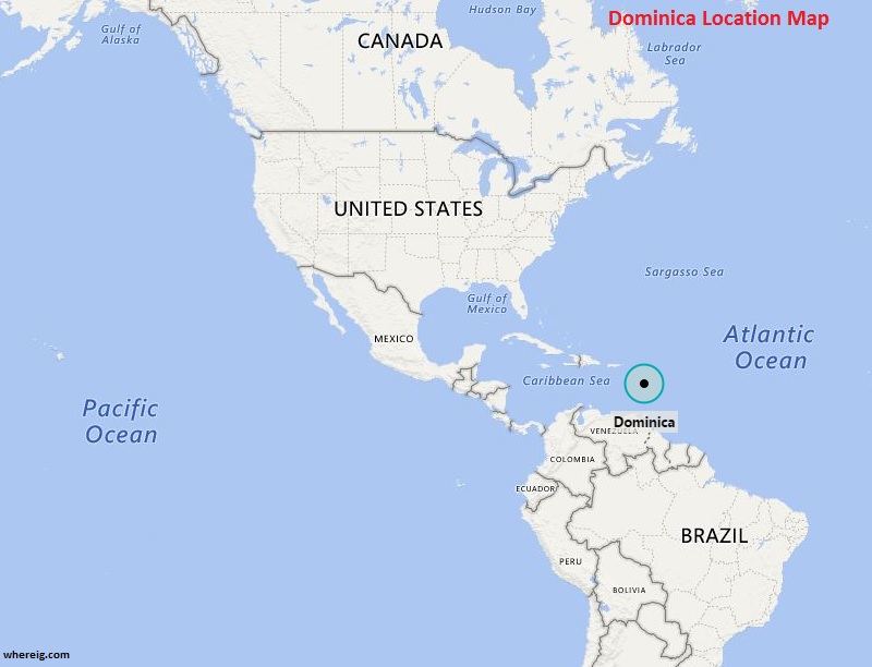
Where is Dominica Located?
Dominica location map shows that Dominica is located in the Caribbean Sea.
By getting its independence in the year 1978, Dominica has formulated its own government. However, the government type of Dominica is a parliamentary democracy within the Commonwealth of Nations.
The island is featured with lush mountainous rainforests, presence of plenty of rare plant, animal, and bird species. In addition, Dominica has several waterfalls, springs, and rivers along with the Calibishie area in the country's northeast region which has also sandy beaches. Hence, it is one of the best tourist islands in the Caribbean Sea. Likewise, Dominica's economy is largely depending upon tourism and agriculture.
North America and Caribbean Countries Location Map
- Where is Antigua and Barbuda
- Where is Bahamas
- Where is Barbados
- Where is Belize
- Where is Canada
- Where is Costa Rica
- Where is Cuba
- Where is Dominica
- Where is Dominican Republic
- El Salvador
- Where is Guatemala
- Where is Greenland

 About Map: Map showing Where is Dominica located on the world map.
