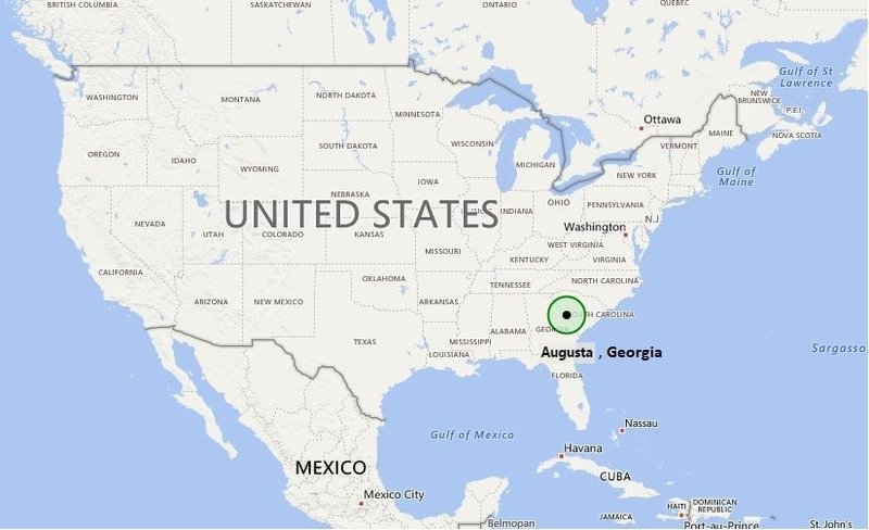
US Map showing Location Map of Augusta in Georgia.
Augusta is located on the Georgia/South Carolina border, about 150 miles east of Atlanta and 70 miles west of Columbia. The city is located at 33°28′12″N 81°58′30″W. Waco has a population of 197,872 (According to 2012 US Census estimates) making it the third-largest city and the second-largest metro area in the state after Atlanta.
Country: United States of America
State: Georgia
County: Richmond County
Established: 1736
ZIP codes: 30901, 30904, 30906, 30907, 30909, 30912,[5] 30815
Area: 306.5 sq mi
Area code: 706, 762
Time zone: EST (UTC-5) and in Summer (DST) EDT (UTC-4)
Elevation: 136 ft (45 m)
Interesting Facts about Augusta City
Country: United States of America
State: Georgia
County: Richmond County
Established: 1736
ZIP codes: 30901, 30904, 30906, 30907, 30909, 30912,[5] 30815
Area: 306.5 sq mi
Area code: 706, 762
Time zone: EST (UTC-5) and in Summer (DST) EDT (UTC-4)
Elevation: 136 ft (45 m)


