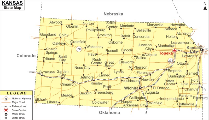
About Map: Kansas Map showing the capital, state boundary, roads, rail network,rivers, interstate highways, major cities and towns.
Facts About Kansas
| State Name | Kansas |
| Country | United States |
| Continent | North America |
| Capital City | Topeka |
| Largest city | Wichita |
| Abbreviation | KS, US-KS |
| Joined the Union | January 29, 1861 (34th) |
| Nickname | Sunflower State |
| Area | 82,277 sq mi (213,096 km2) |
| Timezone | Central: UTC−07:00, Mountain: UTC−06:00 |
| Population | 2,893,957 (2013 est) |
| Highest Point | Mount Sunflower |
| Lowest Point | Verdigris River |
| Official Website | https://www.kansas.gov |
Kansas Interstates
North-South interstates include: Interstate 15, Interstate 17 and Interstate 19. East-West interstates include: Interstate 8, Interstate 10 and Interstate 40.
Kansas Routes
US Highways and State Routes include: Route 60, Route 70, Route 89, Route 89A, Route 93, Route 95, Route 160, Route 180 and Route 191.
More Kansas Maps & Info


