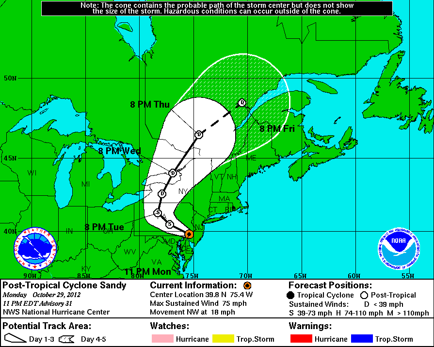
Map source: https://en.wikipedia.org/wiki/File:18L_2012_5day.gif
US Hurricane Sandy Map showing the areas likely to be most affected by the hurricane Sandy
Sandy Highlights
New York major disaster declared
Sandy damage estimated at $20bn
The death toll from superstorm Sandy has risen to 33 in the mainland United States and Canada, and was expected to climb further as several people were still missing, officials said Tuesday
2.4 million households had been affected, double the number hit by Hurricane Irene in August 2011.
At least 7.3 million homes and businesses on the US East Coast were without power on Tuesday
Hurricane Sandy slows US nuclear plants, oldest declares alert
Hurricane Sandy leaves unprecedented challenges for New York City subways


