Written and Fact-checked by Whereig Editors, Reviewed by Mukesh Kumar| Last Updated On: May 11, 2026
Map of Baltimore County - Baltimore County is a county located in the U.S. state of Maryland. Baltimore County Map showing cities, highways, important places and water bodies. Get Where is Baltimore County located in the map, major cities in Baltimore county, population, areas, and places of interest.
Map of Baltimore County, Maryland
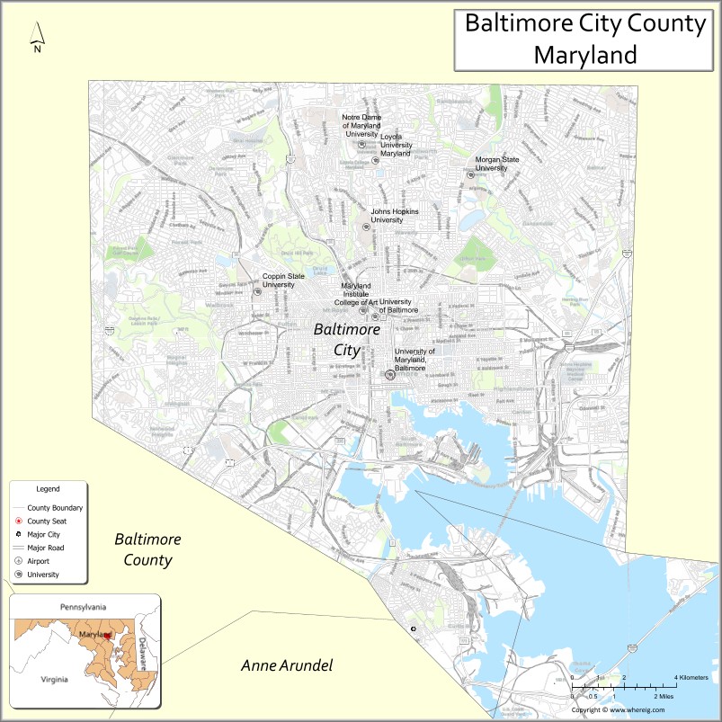
About Baltimore County Map, Alabama: The map showing the county boundary, county seat, major cities, highways, water bodies and neighbouring counties.
More Maryland Maps & Info
Map of Baltimore County, Maryland
Baltimore County is a county located in the U.S. state of Maryland. It's county seat is Towson. As per 2020 census, the population of Baltimore County is 849316 people and population density is square miles. According to the United States Census Bureau, the county has a total area of 682 sq mi (1,766 km2). Baltimore County was established on 1659.
Baltimore County Facts
| Continent | North America |
| Country | United States |
| State | Maryland |
| County Seat | Towson |
| Largest City/Town | Dundalk |
| Established | 1659 |
| Total Area | 682 sq mi (1,766 sq km) |
| Land Area | 598 sq mi (1,549 sq km) |
| Water Area | 84 sq mi (217 sq km) |
| Population | 854,535 (Census 2020) |
| Population Density | 1,429 people per sq mi |
| Time Zone | Eastern Time Zone (ET) |
| Major Highways | Interstate 695, Interstate 83, Interstate 95, U.S. Route 40 |
| Major Rivers | Patapsco River, Gunpowder River, Back River |
| Neighboring Counties | Harford County, Carroll County, Howard County, Anne Arundel County, Baltimore City |
| Famous For | Suburban communities, Chesapeake Bay waterfronts, parks, horse racing, historic towns |
| Top Attractions | Oregon Ridge Park, Loch Raven Reservoir, Patapsco Valley State Park nearby, Maryland State Fairgrounds, Baltimore County trails |
| Official Website | Official Website |
About Baltimore County, Maryland
Baltimore County is located in central Maryland in the United States surrounding Baltimore City and was established in 1659. The county seat is Towson, while Dundalk is the largest community. The county is known for its suburban neighborhoods, waterfront communities, historic districts, parks, educational institutions, and close connection to the Baltimore metropolitan region.
Cities and Communities in Baltimore County, Maryland
| City/Community | Population (Census 2020) | Latitude & Longitude |
|---|---|---|
| Towson (county seat) | 59,553 | 39.4015°N, 76.6019°W |
| Dundalk | 67,796 | 39.2507°N, 76.5205°W |
| Essex | 40,505 | 39.3093°N, 76.4744°W |
| Catonsville | 44,701 | 39.2721°N, 76.7319°W |
| Pikesville | 34,168 | 39.3743°N, 76.7225°W |
| Parkville | 31,812 | 39.3773°N, 76.5394°W |
| Owings Mills | 35,674 | 39.4196°N, 76.7803°W |
| Middle River | 25,191 | 39.3343°N, 76.4394°W |
| Reisterstown | 27,327 | 39.4695°N, 76.8294°W |
| Cockeysville | 22,344 | 39.4812°N, 76.6430°W |
Golf Courses in Baltimore County, Maryland
| Golf Course | Location | Latitude & Longitude |
|---|---|---|
| Fox Hollow Golf Course | Timonium | 39.4438°N, 76.6385°W |
| Greystone Golf Course | White Hall | 39.6272°N, 76.6279°W |
| Rocky Point Golf Course | Essex | 39.3221°N, 76.4097°W |
Roads and Highways in Baltimore County
Major highways connect the county with Baltimore City, Washington, D.C., Pennsylvania, and the Chesapeake Bay region.
- Interstate 695 - Baltimore Beltway encircling Baltimore City and suburban communities
- Interstate 83 - major route connecting Baltimore with York and Harrisburg, Pennsylvania
- Interstate 95 - key East Coast interstate through southern Baltimore County
- U.S. Route 40 - historic national highway through eastern and western county communities
- Maryland Route 295 - parkway linking Baltimore with Washington, D.C.
Neighboring Counties of Baltimore County
- Harford County (northeast)
- Carroll County (west)
- Howard County (southwest)
- Anne Arundel County (south)
- Baltimore City (center)
Top Attractions in Baltimore County, Maryland
The county offers parks, historic sites, waterfront recreation, and suburban cultural attractions.
- Oregon Ridge Park - hiking, nature trails, concerts, and outdoor recreation destination
- Loch Raven Reservoir - boating, fishing, cycling, and scenic water views
- Patapsco Valley State Park nearby - hiking, river recreation, and forested trails
- Maryland State Fairgrounds - annual fairs, exhibitions, horse events, and entertainment
- Baltimore County Trails - walking and cycling paths throughout suburban and park areas
- Cylburn Arboretum nearby - gardens, nature education, and historic mansion grounds
- Gunpowder Falls State Park - kayaking, fishing, hiking, and camping opportunities
- Historic Towson District - shopping, dining, and cultural attractions near the county center
- Waterfront Communities - marinas, boating, and Chesapeake Bay recreation
- Hampton National Historic Site - preserved Georgian mansion and gardens with historical exhibits
Distance from Baltimore County to Nearby Cities
The following distances are measured by road (driving).
- Towson to Baltimore City, Maryland - 8 mi (13 km)
- Towson to Annapolis (Anne Arundel County), Maryland - 34 mi (55 km)
- Towson to Washington, D.C. - 50 mi (80 km)
- Towson to Frederick (Frederick County), Maryland - 53 mi (85 km)
- Towson to Wilmington (New Castle County), Delaware - 60 mi (97 km)
- Towson to Philadelphia (Philadelphia County), Pennsylvania - 98 mi (158 km)
- Towson to Harrisburg (Dauphin County), Pennsylvania - 77 mi (124 km)
- Towson to Richmond (Richmond City), Virginia - 160 mi (257 km)
- Towson to New York City (New York County), New York - 195 mi (314 km)
- Towson to Pittsburgh (Allegheny County), Pennsylvania - 246 mi (396 km)
- Towson to Norfolk (Norfolk City), Virginia - 239 mi (385 km)
- Towson to Boston (Suffolk County), Massachusetts - 407 mi (655 km)
FAQs about Baltimore County
Baltimore County is located in central Maryland surrounding Baltimore City.
Baltimore County has a population of 854,535 according to the Census 2020.
The county is known for suburban communities, parks, Chesapeake Bay waterfronts, and historic towns.
Major highways include Interstate 695, Interstate 83, Interstate 95, and U.S. Route 40.
Yes, Baltimore County has golf facilities including Fox Hollow Golf Course and Greystone Golf Course.
References
- QuickFacts - U.S. Census Bureau
- United States Census Bureau
- United States Geological Survey (USGS)
- National Geodetic Survey
- Official Website
- Allegany County Map
- Anne Arundel County Map
- Baltimore County Map
- Calvert County Map
- Caroline County Map
- Carroll County Map
- Cecil County Map
- Charles County Map
- Dorchester County Map
- Frederick County Map
- Garrett County Map
- Harford County Map
- Howard County Map
- Kent County Map
- Montgomery County Map
- Prince George's County Map
- Queen Anne's County Map
- St Mary's County Map
- Somerset County Map
- Talbot County Map
- Washington County Map
- Wicomico County Map
- Worcester County Map
- Baltimore City County Map
- Where is Annapolis
- Where is Aspen Hill
- Where is Bel Air North
- Where is Bel Air South
- Where is Baltimore
- Where is Bethesda
- Where is Bowie
- Where is Carney
- Where is Catonsville
- Where is Chillum
- Where is Clarksburg
- Where is Clinton
- Where is College Park
- Where is Columbia
- Where is Crofton
- Where is Dundalk
- Where is Eldersburg
- Where is Elkridge
- Where is Ellicott City
- Where is Essex
- Where is Frederick
- Where is Gaithersburg
- Where is Germantown
- Where is Glen Burnie
- Where is Hagerstown
- Where is Laurel
- Where is Middle River
- Where is Milford Mill
- Where is Montgomery Village
- Where is North Bethesda
- Where is North Laurel
- Where is Odenton
- Where is Olney
- Where is Owings Mills
- Where is Parkville
- Where is Pasadena
- Where is Perry Hall
- Where is Pikesville
- Where is Potomac
- Where is Randallstown
- Where is Rockville
- Where is Salisbury
- Where is Severn
- Where is Severna Park
- Where is Silver Spring
- Where is South Laurel
- Where is Towson
- Where is Waldorf
- Where is Wheaton
- Where is Woodlawn