Written and Fact-checked by Whereig Editors, Reviewed by Mukesh Kumar| Last Updated On: May 11, 2026
Map of Worcester County - Worcester County is a county located in the U.S. state of Maryland. Worcester County Map showing cities, highways, important places and water bodies. Get Where is Worcester County located in the map, major cities in Worcester county, population, areas, and places of interest.
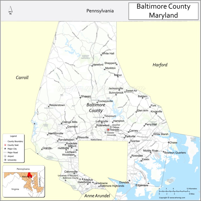
Map of Baltimore City County, Maryland
About Worcester County Map, Alabama: The map showing the county boundary, county seat, major cities, highways, water bodies and neighbouring counties.
More Maryland Maps & Info
Map of Baltimore City County, Maryland
Baltimore City County is a county located in the U.S. state of Maryland. It's county seat is Baltimore City. As per 2020 census, the population of Baltimore City County is 576498 people and population density is square miles. According to the United States Census Bureau, the county has a total area of 92 sq mi (238 km2). Baltimore City County was established on 1851.
Baltimore City Facts
| Continent | North America |
| Country | United States |
| State | Maryland |
| County Equivalent | Independent City |
| County Seat | Baltimore |
| Largest City/Town | Baltimore |
| Established | 1729 |
| Total Area | 92 sq mi (238 sq km) |
| Land Area | 81 sq mi (210 sq km) |
| Water Area | 11 sq mi (28 sq km) |
| Population | 585,708 (Census 2020) |
| Population Density | 7,231 people per sq mi |
| Time Zone | Eastern Time Zone (ET) |
| Major Highways | Interstate 95, Interstate 83, Interstate 695 nearby, U.S. Route 40 |
| Major Rivers | Patapsco River, Jones Falls |
| Neighboring Counties | Baltimore County, Anne Arundel County |
| Famous For | Inner Harbor, historic neighborhoods, seafood, sports teams, maritime history |
| Top Attractions | Inner Harbor, National Aquarium, Fort McHenry, Camden Yards, Baltimore Museum of Art |
| Official Website | Official Website |
About Baltimore City, Maryland
Baltimore City is an independent city located in central Maryland in the United States along the Patapsco River and Chesapeake Bay region. Founded in 1729, Baltimore is the largest city in Maryland and serves as a major port, cultural center, and economic hub. The city is known for its historic waterfront, maritime heritage, professional sports, seafood cuisine, museums, and vibrant neighborhoods.
Neighborhoods and Communities in Baltimore City, Maryland
| Neighborhood/Community | Population Estimate | Latitude & Longitude |
|---|---|---|
| Downtown Baltimore | 15,000+ | 39.2904°N, 76.6122°W |
| Inner Harbor | 12,000+ | 39.2847°N, 76.6131°W |
| Fells Point | 7,500+ | 39.2826°N, 76.5930°W |
| Canton | 9,800+ | 39.2806°N, 76.5715°W |
| Federal Hill | 10,200+ | 39.2802°N, 76.6119°W |
| Mount Vernon | 8,900+ | 39.2973°N, 76.6175°W |
| Hampden | 6,300+ | 39.3312°N, 76.6330°W |
| Roland Park | 5,400+ | 39.3362°N, 76.6348°W |
| Charles Village | 7,000+ | 39.3218°N, 76.6175°W |
| Locust Point | 3,900+ | 39.2702°N, 76.5941°W |
Golf Courses in Baltimore City, Maryland
| Golf Course | Location | Latitude & Longitude |
|---|---|---|
| Clifton Park Golf Course | Baltimore | 39.3144°N, 76.5767°W |
| Forest Park Golf Course | Baltimore | 39.3226°N, 76.6875°W |
| Pine Ridge Golf Course nearby | Baltimore County | 39.4075°N, 76.5382°W |
Roads and Highways in Baltimore City
Major highways connect Baltimore with the Northeast Corridor, Washington, D.C., and surrounding Maryland communities.
- Interstate 95 - major north-south interstate through the East Coast and Baltimore Harbor tunnels
- Interstate 83 - key route linking downtown Baltimore with northern suburbs and Pennsylvania
- Interstate 695 nearby - Baltimore Beltway encircling the metropolitan region
- U.S. Route 40 - historic national highway crossing Baltimore City
- Interstate 895 - harbor tunnel route serving port and airport traffic
Neighboring Counties of Baltimore City
- Baltimore County (north, west, and east)
- Anne Arundel County (south)
Top Attractions in Baltimore City, Maryland
Baltimore offers waterfront attractions, museums, sports venues, and historic landmarks.
- Inner Harbor - major waterfront entertainment district with shops, museums, and restaurants
- National Aquarium - nationally known aquarium featuring marine exhibits and aquatic wildlife
- Fort McHenry National Monument - historic fort associated with the War of 1812 and the U.S. national anthem
- Oriole Park at Camden Yards - iconic Major League Baseball stadium home of the Baltimore Orioles
- Baltimore Museum of Art - renowned art museum with international collections and sculpture gardens
- Fells Point Historic District - waterfront neighborhood with cobblestone streets, nightlife, and maritime heritage
- American Visionary Art Museum - museum showcasing self-taught and outsider artists
- Maryland Science Center - interactive exhibits and educational science attractions
- Johns Hopkins University Area - historic campus and cultural institutions
- Harborplace and Waterfront Promenades - scenic walking areas with harbor views and dining
Distance from Baltimore City to Nearby Cities
The following distances are measured by road (driving).
- Baltimore to Annapolis (Anne Arundel County), Maryland - 31 mi (50 km)
- Baltimore to Washington, D.C. - 40 mi (64 km)
- Baltimore to Frederick (Frederick County), Maryland - 52 mi (84 km)
- Baltimore to Wilmington (New Castle County), Delaware - 67 mi (108 km)
- Baltimore to Philadelphia (Philadelphia County), Pennsylvania - 101 mi (163 km)
- Baltimore to Harrisburg (Dauphin County), Pennsylvania - 82 mi (132 km)
- Baltimore to Richmond (Richmond City), Virginia - 152 mi (245 km)
- Baltimore to Norfolk (Norfolk City), Virginia - 231 mi (372 km)
- Baltimore to New York City (New York County), New York - 190 mi (306 km)
- Baltimore to Pittsburgh (Allegheny County), Pennsylvania - 247 mi (398 km)
- Baltimore to Cleveland (Cuyahoga County), Ohio - 379 mi (610 km)
- Baltimore to Boston (Suffolk County), Massachusetts - 402 mi (647 km)
FAQs about Baltimore City
Baltimore City is located in central Maryland along the Patapsco River and Chesapeake Bay region.
Baltimore City has a population of 585,708 according to the Census 2020.
The city is known for the Inner Harbor, seafood, maritime history, sports teams, and historic neighborhoods.
Major highways include Interstate 95, Interstate 83, Interstate 695, and U.S. Route 40.
Yes, Baltimore City has golf facilities including Clifton Park Golf Course and Forest Park Golf Course.
References
- QuickFacts - U.S. Census Bureau
- United States Census Bureau
- United States Geological Survey (USGS)
- National Geodetic Survey
- Official Website
- Allegany County Map
- Anne Arundel County Map
- Baltimore County Map
- Calvert County Map
- Caroline County Map
- Carroll County Map
- Cecil County Map
- Charles County Map
- Dorchester County Map
- Frederick County Map
- Garrett County Map
- Harford County Map
- Howard County Map
- Kent County Map
- Montgomery County Map
- Prince George's County Map
- Queen Anne's County Map
- St Mary's County Map
- Somerset County Map
- Talbot County Map
- Washington County Map
- Wicomico County Map
- Worcester County Map
- Baltimore City County Map
- Where is Annapolis
- Where is Aspen Hill
- Where is Bel Air North
- Where is Bel Air South
- Where is Baltimore
- Where is Bethesda
- Where is Bowie
- Where is Carney
- Where is Catonsville
- Where is Chillum
- Where is Clarksburg
- Where is Clinton
- Where is College Park
- Where is Columbia
- Where is Crofton
- Where is Dundalk
- Where is Eldersburg
- Where is Elkridge
- Where is Ellicott City
- Where is Essex
- Where is Frederick
- Where is Gaithersburg
- Where is Germantown
- Where is Glen Burnie
- Where is Hagerstown
- Where is Laurel
- Where is Middle River
- Where is Milford Mill
- Where is Montgomery Village
- Where is North Bethesda
- Where is North Laurel
- Where is Odenton
- Where is Olney
- Where is Owings Mills
- Where is Parkville
- Where is Pasadena
- Where is Perry Hall
- Where is Pikesville
- Where is Potomac
- Where is Randallstown
- Where is Rockville
- Where is Salisbury
- Where is Severn
- Where is Severna Park
- Where is Silver Spring
- Where is South Laurel
- Where is Towson
- Where is Waldorf
- Where is Wheaton
- Where is Woodlawn