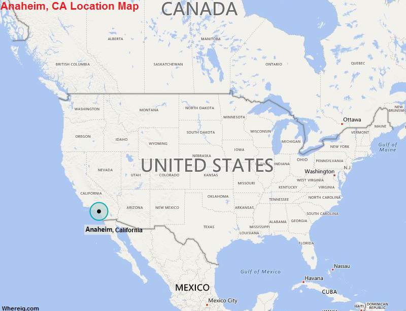
Anaheim is located in the southern part of the state. It is the 10th most-populated city in the state of California, and 54th in the United States.
| Fact sheet | Anaheim |
|---|---|
| Country | USA |
| State | California |
| Location | Southern part of the State |
| Latitude | 33.50′10″N |
| Longitude | 117.53′23″W |
| Total area | 131km2 ( 51 sq mi) |
| Total Population | 341,361 |
| Zip | 92801 |
| Area code | 714 |
| Nearby Cities | Fullerton, Placentia, Buena Park, Orange |
| Major Tourists' Attraction | Anaheim Convention Centre, City National Grove of Anaheim, Adventure City, Space Mountain |
| Nearest airport | John Wayne Airport (about 15 miles), Long Beach Airport (24 miles) |
California Maps
Location Map of California Cities
- Where is Berkeley
- Where is Clovis
- Where is Corona
- Where is Elk Grove
- Where is Escondido
- Where is Fontana
- Where is Fremont
- Where is Fullerton
- Where is Garden Grove
- Where is Hayward
- Where is Huntington Beach
- Where is Lancaster
- Where is Moreno Valley
- Where is Oceanside
- Where is Ontario
- Where is Orange
- Where is Oxnard
- Where is Palmdale
- Where is Pasadena
- Where is Pomona
- Where is Rancho Cucamonga
- Where is Roseville
- Where is Salinas
- Where is Santa Clara
- Where is Santa Clarita
- Where is Santa Rosa
- Where is Sunnyvale
- Where is Thousand Oaks
- Where is Torrance
- Where is Vallejo
- Where is Victorville
- Where is Visalia


