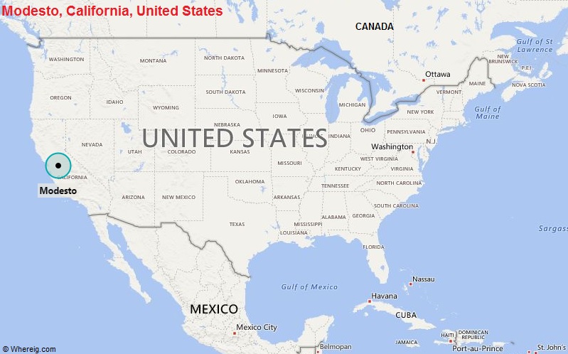
Modesto is located in the central part of the state. It is the 18th largest city of California in terms of population.
| Sr. No | Fact sheet | Modesto |
|---|---|---|
| 1 | Country | USA |
| 2 | State | California |
| 3 | Location | Central part of the State |
| 4 | Latitude | 37.39′41″N |
| 5 | Longitude | 120.59′40″W |
| 6 | Total area | 96km2 ( 37 sq mi ) |
| 7 | Total Population | 202,751 |
| 8 | Zip Codes | 95350 |
| 9 | Area code | 209 |
| 10 | Nearby Cities | Ripon, Ceres, Riverbank, Manteca |
| 11 | Major Tourists' Attraction | Gallo Center for the Arts, McHenry Mansion, Yosemite National Park, Castle Air Museum |
| 12 | Nearest airport | Modesto City-County Airport (3 miles), Stockton Metropolitan Airport (25 miles) |
Most Viewed CA Maps
Location Map of California Cities
- Where is Berkeley
- Where is Clovis
- Where is Corona
- Where is Elk Grove
- Where is Escondido
- Where is Fontana
- Where is Fremont
- Where is Fullerton
- Where is Garden Grove
- Where is Hayward
- Where is Huntington Beach
- Where is Lancaster
- Where is Moreno Valley
- Where is Oceanside
- Where is Ontario
- Where is Orange
- Where is Oxnard
- Where is Palmdale
- Where is Pasadena
- Where is Pomona
- Where is Rancho Cucamonga
- Where is Roseville
- Where is Salinas
- Where is Santa Clara
- Where is Santa Clarita
- Where is Santa Rosa
- Where is Sunnyvale
- Where is Thousand Oaks
- Where is Torrance
- Where is Vallejo
- Where is Victorville
- Where is Visalia


