Where is Bryant Located? - Bryant is a city located in the Saline County of Arkansas, United States. Bryant lies between 34.60679 Degrees North latitudes and -92.492 Degrees West longitudes.
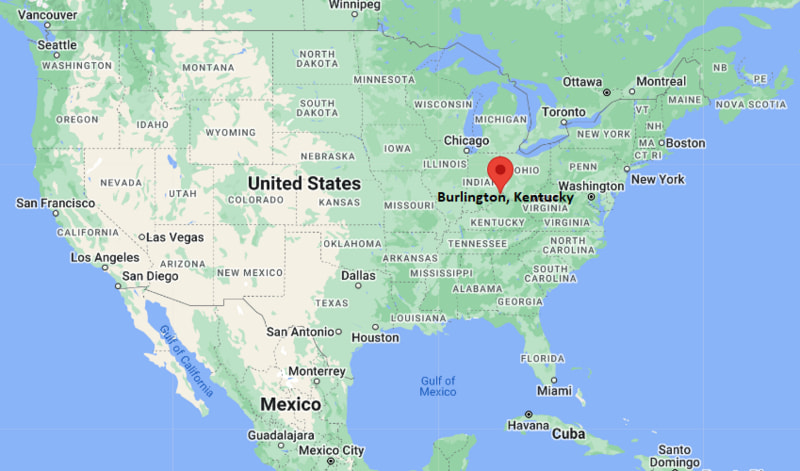
Location Map of Burlington, Kentucky
Bryant Map, Arkansas, USA
Where is Bryant?: The Google Map showing the location of Bryant in the U.S. state of Arkansas.
Where is Bryant Located?
Bryant is a city located in the Saline County of Arkansas, United States. Bryant lies between 34.60679 Degrees North latitude and -92.492 Degrees West longitude. According to the 2020 U.S. Census, the population of Bryant city is 20,663 people and the city has a total area of 20.582 sq mi. The city has numerous parks and recreational facilities.
Interstate 30 - Main highway connecting Bryant with Little Rock, Benton, Texarkana and Dallas.
Arkansas Highway 5 - Provides north-south access between Bryant, Benton and surrounding communities.
Interstate 430 - Located nearby, offering connections around the western side of Little Rock.
Arkansas Highway 183 - Serves local neighborhoods and connects with major commercial areas.
Alcoa Road - An important local corridor linking Bryant with Saline County businesses and residential developments.
Key Landmarks and Places to Visit in Bryant, Arkansas
Landmark Name
Type
Bishop Park
Community Park
Mills Park
City Park
Hurricane Lake Wildlife Management Area
Wildlife Area
Saline County History & Heritage Society Museum
Museum
The Rookh Family Center
Community Center
Downtown Benton Historic District
Historic District
Big Dam Bridge
Landmark Bridge
Pinnacle Mountain State Park
State Park
Little Rock Zoo
Zoo
Arkansas Inland Maritime Museum
Museum
Colleges and Universities in Bryant, Arkansas
Institution Name
Type
Level
Notable For
University of Arkansas at Little Rock
Public
University
Research and professional education
Pulaski Technical College
Public
Community College
Career and technical programs
University of Arkansas for Medical Sciences
Public
University
Medical education
Ouachita Baptist University
Private
University
Liberal arts education
Bryant Public Schools
Public
K-12 District
Public education services
Waterbodies in Bryant, Arkansas
Hurricane Creek, Saline River, Lake Norrell, Lake Winona, Arkansas River, Hurricane Lake, Crooked Creek, Fourche Creek
Golf Courses in Bryant, Arkansas
Longhills Golf Club, Hurricane Golf & Country Club, Rebsamen Golf Course, Pleasant Valley Country Club, Burns Park Golf Course, The First Tee of Central Arkansas, Granada Golf Course, Diamante Country Club
Bryant, Arkansas - Key Historical Facts
Bryant was established in the late nineteenth century after the arrival of the railroad through Saline County.
The community was named after local landowner and early settler Wilbur Bryant, whose property became the center of the town's development.
For many years, Bryant's economy was based on agriculture, timber, and small local businesses.
Construction of Interstate 30 helped transform Bryant into one of the fastest-growing suburban communities in central Arkansas.
The city has earned a reputation for its highly rated public schools, parks, and family-oriented neighborhoods.
Today, Bryant continues to grow as part of the Little Rock metropolitan area while maintaining a strong community identity.