Where is Burlington Located? - Burlington is a city located in the Alamance County of Vermont, United States. Burlington lies between 44.48402 Degrees North latitudes and -73.2199 Degrees West longitudes.
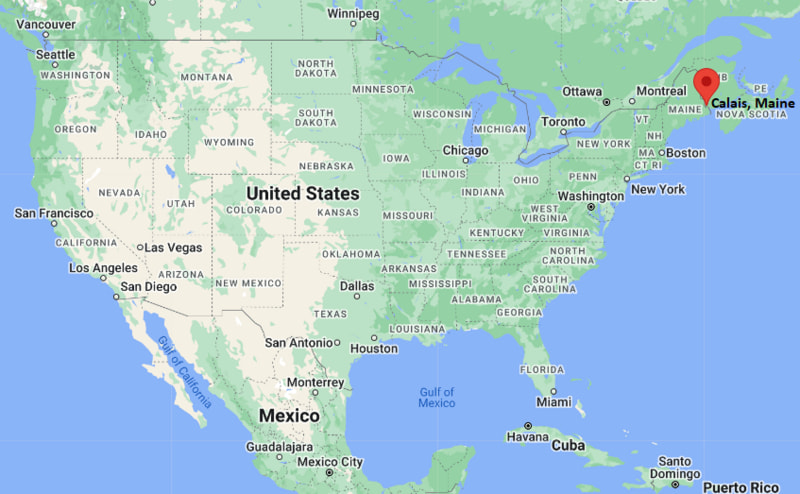
Location Map of Calais, Maine
Burlington Map, Vermont, USA
Where is Burlington?: The Google Map showing the location of Burlington in the U.S. state of Vermont.
Where is Burlington Located?
Burlington is a city located in the Chittenden County of Vermont, United States. Burlington lies between 44.48402 Degrees North latitude and -73.2199 Degrees West longitude. According to the 2020 U.S. Census, the population of Burlington city is 44,743 people and the city has a total area of 15.493 sq mi. The city has numerous parks and recreational facilities.
Transportation and Connectivity in Burlington, Vermont
Transportation
Details
Airport Name
Patrick Leahy Burlington International Airport
IATA Code
BTV
Port
Port of Burlington (Lake Champlain)
Major Highways
Interstate 89, US Highway 2, US Highway 7, Vermont Route 127
Train/Amtrak Service
Amtrak Ethan Allen Express
Local Bus/Transit Service
Green Mountain Transit
Interstate 89 - Main north-south interstate connecting Burlington with Montpelier, White River Junction and Canada.
US Highway 7 - Regional route linking Burlington with Middlebury, Bennington and western Vermont.
US Highway 2 - Crosses downtown Burlington and connects the city with Montpelier and northern New York via ferry.
Vermont Route 127 - Provides access to northern Burlington, Colchester and the Lake Champlain waterfront.
Patrick Leahy Burlington International Airport - Vermont's largest commercial airport offering domestic flights to major U.S. cities.
Key Landmarks and Places to Visit in Burlington, Vermont
Landmark Name
Type
Church Street Marketplace
Pedestrian Shopping District
Waterfront Park
City Park
ECHO, Leahy Center for Lake Champlain
Science Museum
Battery Park
Historic Park
University of Vermont
University Campus
Shelburne Museum
Museum
Burlington Bike Path
Recreation Trail
Lake Champlain Ferry Terminal
Waterfront Attraction
Fleming Museum of Art
Art Museum
Oakledge Park
Lakeside Park
Colleges and Universities in Burlington, Vermont
Institution Name
Type
Level
Notable For
University of Vermont
Public
University
Research and medical education
Champlain College
Private
University
Technology and career-focused programs
Community College of Vermont - Burlington
Public
Community College
Transfer and workforce education
Saint Michael's College
Private
University
Liberal arts education
Burlington School District
Public
K-12 District
Public education services
Waterbodies in Burlington, Vermont
Lake Champlain, Winooski River, Centennial Brook, Potash Brook, Englesby Brook, Shelburne Bay, Malletts Bay, Lewis Creek
Golf Courses in Burlington, Vermont
Burlington Country Club, Rocky Ridge Golf Club, Vermont National Country Club, Kwiniaska Golf Club, Williston Golf Club, Cedar Knoll Country Club, Links at Lang Farm, Catamount Golf Club
Burlington, Vermont - Key Historical Facts
Burlington was chartered in 1763 and developed into an important trading center on the eastern shore of Lake Champlain.
During the nineteenth century, the city prospered through lumber, shipping, and manufacturing supported by lake transportation.
The University of Vermont, founded in 1791, helped establish Burlington as the state's leading educational and cultural center.
The arrival of the railroad strengthened Burlington's economy by improving trade throughout New England and Canada.
Church Street Marketplace, created in 1981, transformed downtown into one of the nation's best-known pedestrian shopping districts.
Today, Burlington is Vermont's largest city and is recognized for its vibrant waterfront, higher education, arts scene, and outdoor recreation.