Where is Cudahy Located? - Cudahy is a city located in the Milwaukee County of Wisconsin, United States. Cudahy lies between 43.9247446 Degrees North latitudes and 72.6656948 Degrees West longitudes.
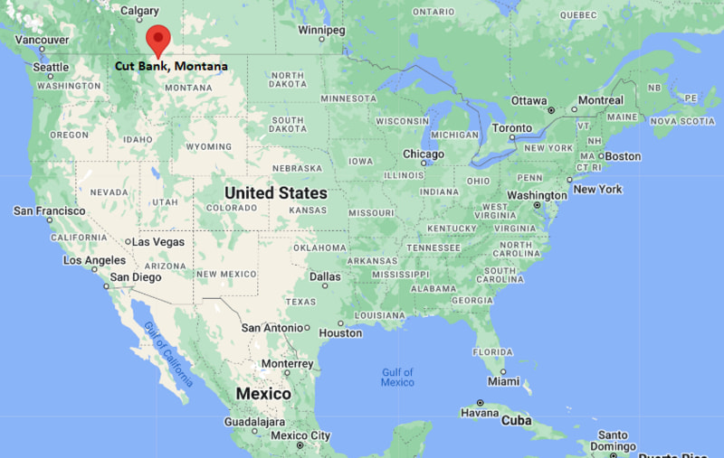
Location Map of Cut Bank, Montana
Cudahy Map, Wisconsin, USA
Where is Cudahy Located?
Cudahy is a city located in the Milwaukee County of Wisconsin, United States. Cudahy lies between 43.9247446 Degrees North latitudes and 72.6656948 Degrees West longitudes. According to 2020 U.S.census, the population of Cudahy city is 18204 people and the city has a total area of 4.77 sq mi. The city has numerous parks and recreational facilities.
Most Viewed US Maps
Cudahy, Wisconsin Quick Facts
Field Value
City Cudahy County Milwaukee County State Wisconsin State Capital Madison US Region Midwestern United States Latitude 42.9597°N Longitude 87.8618°W Elevation 676 ft (206 m) Land Area ~4.0 sq mi Water Area ~0.0 sq mi Total Area ~4.0 sq mi Population ~18,000 (2020 Census) Population Density ~4,500 per sq mi ZIP Codes 53110 Area Code 414 Time Zone (Standard) Central Standard Time (CST) UTC -6 Time Zone (DST) Central Daylight Time (CDT) UTC -5 Currency US Dollar (USD) FIPS Code 55-17900 Congressional District 4th District
Nearby Cities to Cudahy, Wisconsin
Milwaukee, Wisconsin — 7 mi North
South Milwaukee, Wisconsin — 3 mi South
St. Francis, Wisconsin — 2 mi West
West Allis, Wisconsin — 10 mi West
Wauwatosa, Wisconsin — 12 mi Northwest
Greenfield, Wisconsin — 6 mi West
Oak Creek, Wisconsin — 5 mi South
Franklin, Wisconsin — 8 mi Southwest
Racine, Wisconsin — 20 mi South
Hales Corners, Wisconsin — 9 mi West
Cudahy, Wisconsin Climate and Weather Overview
Month Avg High (°F) Avg Low (°F) Avg Rainfall (in)
January 30 17 1.6 April 54 37 3.1 July 82 64 3.6 October 58 42 2.7 Annual 56 41 34.0
Climate Attribute Value
Climate Classification (Köppen) Humid Continental (Dfa) Annual Snowfall ~45–50 inches Annual Rainfall ~33–36 inches Annual Sunshine Days ~190 days Tornado Risk Low to Moderate
Driving Distances from Cudahy, Wisconsin
City State Distance (mi) Approx. Drive Time
Milwaukee WI 7 15 min Racine WI 20 25 min Waukesha WI 25 35 min West Allis WI 10 20 min Wauwatosa WI 12 20 min Franklin WI 8 15 min Oak Creek WI 5 10 min Greenfield WI 6 12 min Madison WI 80 1 hr 25 min Chicago IL 85 1 hr 30 min
Transportation and Connectivity in Cudahy, Wisconsin
Mode Details
Airport Milwaukee Mitchell International Airport (MKE) Port Port of Milwaukee (Lake Michigan access) Major Highways I-794, I-94 (nearby), WI-32, Lake Parkway (WI-794 extension) Rail/Amtrak Amtrak service via Milwaukee Intermodal Station Local Transit Milwaukee County Transit System (MCTS)
I-794 — connects downtown Milwaukee with southeastern suburbs near Lake Michigan
I-94 — major interstate linking Milwaukee with Chicago and Madison
WI-32 — regional route running through southeastern Wisconsin communities
Key Landmarks and Places to Visit in Cudahy, Wisconsin
Landmark Name Type
Warnimont Park Lakefront Park City of Cudahy Civic Center Government Building Grant Park (nearby South Milwaukee) Regional Park South Shore Bike Trail Recreational Trail Lake Michigan Shoreline Natural Waterfront Seven Bridges Trail (nearby Grant Park) Nature Trail Milwaukee County Zoo (nearby) Zoo Humboldt Park Pavilion (nearby Milwaukee) Historic Park
Places to Visit in Cudahy, Wisconsin
Landmark Name Type
Lakefront Park Area Recreation Area Oak Leaf Trail (regional access) Bike Trail South Milwaukee Downtown District Shopping & Dining Mitchell Gallery of Flight (near airport) Museum Milwaukee Art Museum (nearby) Art Museum Historic Third Ward (Milwaukee) Entertainment District Discovery World (Milwaukee) Science Museum Bradford Beach (Milwaukee) Beach
Colleges and Universities in Cudahy, Wisconsin
Institution Name Type Level Notable For
University of Wisconsin–Milwaukee Public University Research & engineering Marquette University (Milwaukee) Private University Law, business, health sciences Milwaukee Area Technical College (MATC) Public Technical College Career & vocational training
Waterbodies in Cudahy, Wisconsin
Lake Michigan, Milwaukee River (regional), Kinnickinnic River, Evinrude Lagoon (nearby), Root River (regional)
Golf Courses in Cudahy, Wisconsin
Grant Park Golf Course, Whitnall Park Golf Course (nearby), Oakwood Park Golf Course (nearby), Warnimont Golf Course
Cudahy, Wisconsin - Key Historical Facts
Cudahy was founded in the late 19th century as a company town tied to the meatpacking industry.
The city was named after industrialist Patrick Cudahy, who established major packing operations in the area.
Early growth was strongly influenced by rail access and proximity to Milwaukee’s industrial corridor.
The city incorporated in the early 20th century as residential neighborhoods expanded.
Lake Michigan shoreline access helped shape recreation and local development patterns.
Today Cudahy is a suburban community within the Milwaukee metropolitan area.
References
Wisconsin Maps and Info
Location Map of Wisconsin Cities
Popular US Cities
About USA
US Counties
World Countries
World Cup 2026