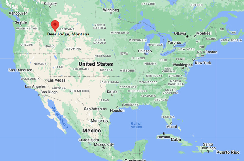
Where is Deer Lodge Located? - Deer Lodge is a city located in the Powell County of Montana, United States. Deer Lodge lies between 41.1159913 Degrees North latitudes and 104.7812654 Degrees West longitudes.
Location Map of Deer Lodge, Montana
Deer Lodge Map, Montana, USA
Where is Deer Lodge?: The Google Map showing the location of Deer Lodge in the U.S. state of Montana.
Where is Deer Lodge Located?
Deer Lodge is a city located in the Powell County of Montana, United States. Deer Lodge lies between 41.1159913 Degrees North latitudes and 104.7812654 Degrees West longitudes. According to 2020 U.S.census, the population of Deer Lodge city is 2938 people and the city has a total area of 1.44 sq mi. The city has numerous parks and recreational facilities.
No passenger rail service; nearest Amtrak station at Whitefish
Local Bus/Transit Service
Regional transportation and local taxi services
Interstate 90 - Main east-west interstate connecting Deer Lodge with Butte, Missoula, Billings, and Spokane.
Montana Highway 1 - Scenic Pintler Veterans' Memorial Highway linking Deer Lodge with Philipsburg and Drummond.
Montana Highway 271 - Connects the city with nearby communities and Interstate 90 access points.
Key Landmarks and Places to Visit in Deer Lodge, Montana
Landmark Name
Type
Old Montana Prison Complex
Historic Site
Grant-Kohrs Ranch National Historic Site
National Historic Site
Montana Auto Museum
Museum
Frontier Montana Museum
History Museum
Powell County Museum
Museum
Yesterday's Playthings Museum
Toy Museum
Cutler Bros. Productions Museum
Specialty Museum
Cottonwood City Park
City Park
Clark Fork River Scenic Area
Natural Attraction
Mount Powell Scenic Area
Mountain Recreation Area
Colleges and Universities in Deer Lodge, Montana
Institution Name
Type
Level
Notable For
University of Montana - Missoula
Public
University
Research and liberal arts
Montana Technological University
Public
University
Engineering and mining programs
Helena College - University of Montana
Public
Community College
Technical and career education
Highlands College of Montana Tech
Public
Community College
Workforce and skilled trades
Powell County High School District
Public
K-12 District
Public education system
Waterbodies in Deer Lodge, Montana
Clark Fork River, Warm Springs Creek, Cottonwood Creek, Lost Creek, Georgetown Lake, Silver Lake, Flint Creek, Warm Springs Ponds
Golf Courses in Deer Lodge, Montana
Deer Lodge Golf Club, Old Works Golf Course, Fairmont Hot Springs Resort Golf Course, Anaconda Hills Golf Course, Butte Country Club
Deer Lodge, Montana - Key Historical Facts
Deer Lodge began as a trading and supply center during the 1860s after nearby gold discoveries attracted miners and settlers to western Montana.
The city became the county seat of Powell County and played an important role in ranching, transportation, and regional commerce.
The historic Grant-Kohrs Ranch helped establish Deer Lodge as one of the birthplaces of the open-range cattle industry in the American West.
The Montana State Prison operated in Deer Lodge for more than a century before closing in 1979, and the former prison is now a major historic attraction.
The arrival of the Northern Pacific Railway strengthened the city's economy by improving trade and transportation across Montana.
Today, Deer Lodge is known for its preserved Old West history, museums, national historic sites, and outdoor recreation opportunities.