
Princeton is a city in north-central Illinois and the county seat of Bureau County. It sits along Interstate 80, about 50 miles east of the Quad Cities and 95 miles west of Chicago. The city is known for its historic Main Street, Owen Lovejoy Homestead, covered bridges, Amtrak service, and strong connection to Bureau County history.
Location Map of Princeton, Bureau County, Illinois
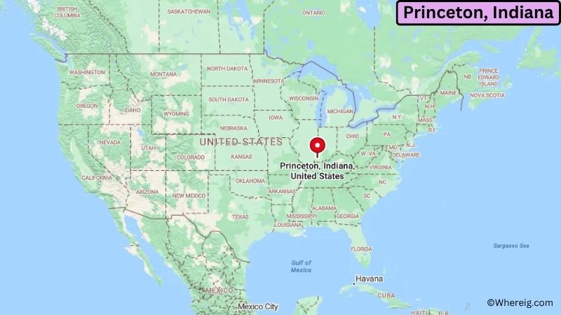
About Map: The map shows the location of Princeton in Bureau County, in the U.S. state of Illinois.
Princeton Map, Illinois
About Princeton Map: The Google Map highlights the location of Princeton in Bureau County, Illinois. Use the zoom, satellite, and street-view options to explore the city's neighborhoods, roads, and nearby places.
Where is Princeton Located?
Princeton is a city located in Bureau County, Illinois, the United States. It is in north-central Illinois, about 50 miles east of the Quad Cities and roughly 95 miles west of Chicago. Peoria is about 50 miles south, while Rockford is around 75 miles northeast. Princeton is positioned near 41.368° North latitude and 89.464° West longitude. The 2020 Census recorded 7,832 residents. The city has about 8.24 square miles of land, or 21.34 square kilometers. Princeton was founded in 1831 and became the county seat of Bureau County. Its location along Interstate 80 and a major Amtrak route makes it an important transportation point in the region. Historic downtown Princeton includes the Owen Lovejoy Homestead, the Bureau County History Center, the Apollo Theater, and other preserved buildings. The city is also known for its two historic covered bridges, the Red Covered Bridge and Captain Swift Bridge. A unique fact about Princeton is its connection to Owen Lovejoy, an abolitionist, minister, and U.S. congressman who lived in the community. The city also has a strong arts tradition, including Festival 56 summer theater and a historic Main Street.
Most Viewed US Maps
| USA Sttae Map | USA Region Map | USA Road Map |
| USA County Map | Where is USA in World Map? | US ZIP Code Map |
| USA Time Zones Map | US State and Capitals Map | USA Physical Map |
Find 4,400+ U.S. Cities by State - Explore Their Locations and Get Detailed Information
Princeton City Facts
| City | Princeton |
| State | Illinois |
| County | Bureau County |
| Country | United States |
| Region | North-Central Illinois |
| Incorporated | 1852 |
| Founded | 1831 |
| Total Area | 8.24 sq mi (21.34 sq km) |
| Land Area | 8.24 sq mi (21.34 sq km) |
| Water Area | 0.00 sq mi (0.00 sq km) |
| Elevation | 650 ft (198 m) |
| Population (2023 estimate) | About 7,800 |
| Population (2020 Census) | 7,832 |
| Population Density | 950.5 people per sq mi |
| Time Zone | Central Time (CST/CDT) |
| ZIP Codes | 61356 |
| Area Code | 815 and 779 |
| Major Highways | I-80, IL-26, IL-29, IL-34, and IL-6 |
| Public Transit | CountyLink and local transportation services |
| Major Attractions | Owen Lovejoy Homestead, Bureau County History Center, Red Covered Bridge, Captain Swift Bridge, and Historic Main Street |
| Official Website | https://www.princeton-il.com/ |
Distance from Princeton, IL to Nearby Cities
- Spring Valley, IL – 7 miles (11 km)
- Peru, IL – 15 miles (24 km)
- LaSalle, IL – 16 miles (26 km)
- Hennepin, IL – 20 miles (32 km)
- Ottawa, IL – 25 miles (40 km)
- Streator, IL – 30 miles (48 km)
- Geneseo, IL – 35 miles (56 km)
- Galesburg, IL – 40 miles (64 km)
- Peoria, IL – 50 miles (80 km)
- Rock Island, IL – 50 miles (80 km)
- Moline, IL – 50 miles (80 km)
- Bloomington, IL – 65 miles (105 km)
- Rockford, IL – 75 miles (121 km)
- Joliet, IL – 75 miles (121 km)
- Champaign, IL – 100 miles (161 km)
- Chicago, IL – 95 miles (153 km)
- Naperville, IL – 80 miles (129 km)
- Des Moines, IA – 170 miles (274 km)
Top Attractions in Princeton
- Owen Lovejoy Homestead – A historic 1838 house museum that was home to abolitionist and U.S. congressman Owen Lovejoy.
- Bureau County History Center – A local history center with museum buildings and research resources documenting Bureau County's past.
- Red Covered Bridge – A historic covered bridge near Princeton spanning Big Bureau Creek and dating to the 19th century.
- Captain Swift Bridge – A covered bridge near Princeton that forms part of the area's collection of historic structures.
- Historic Main Street – Princeton's traditional downtown features historic buildings, local shops, restaurants, public art, and community events.
- Apollo Theater – A historic theater that has served the Princeton community since the late 19th century.
- Festival 56 – A local theater festival presenting plays, musicals, Shakespeare productions, and other performances.
- Princeton Railroad Station – A restored Amtrak station serving several passenger trains and connecting Princeton with Chicago and other destinations.
- Zearing Park – A large city park with sports fields, walking paths, a pond, playgrounds, and outdoor recreation facilities.
Airports Near Princeton, IL
- Illinois Valley Regional Airport (VYS) – 20 miles
- Quad Cities International Airport (MLI) – 55 miles
- Peoria International Airport (PIA) – 55 miles
- Chicago Rockford International Airport (RFD) – 75 miles
- Central Illinois Regional Airport (BMI) – 75 miles
Sources:
Population and area data sourced from the United States Census Bureau (2020 Census). General city information referenced from the official Princeton city website and local government records.
Illinois Related Maps and Info
- Where is Arlington Heights
- Where is Bartlett
- Where is Belleville
- Where is Berwyn
- Where is Bloomington
- Where is Bolingbrook
- Where is Buffalo Grove
- Where is Carol Stream
- Where is Carpentersville
- Where is Champaign
- Where is Cicero
- Where is Crystal Lake
- Where is Decatur
- Where is DeKalb
- Where is Des Plaines
- Where is Downers Grove
- Where is Elgin
- Where is Elmhurst
- Where is Evanston
- Where is Glenview
- Where is Hanover Park
- Where is Hoffman Estates
- Where is Joliet
- Where is Lombard
- Where is Moline
- Where is Mount Prospect
- Where is Naperville
- Where is Normal
- Where is Oak Lawn
- Where is Oak Park
- Where is Orland Park
- Where is Palatine
- Where is Park Ridge
- Where is Peoria
- Where is Plainfield
- Where is Quincy
- Where is Rock Island
- Where is Rockford
- Where is Romeoville
- Where is Schaumburg
- Where is Skokie
- Where is Streamwood
- Where is Tinley Park
- Where is Urbana
- Where is Waukegan
- Where is Wheaton
- Where is Wheeling