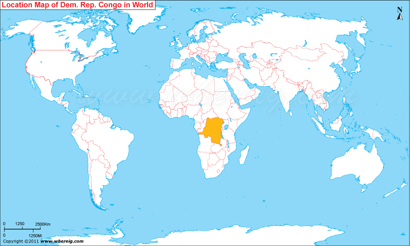
Where is Republic of Congo located on the world map?
The given Republic of Congo location map shows that Republic of Congo is located in the central part of Africa continent. Republic of Congo map also shows that the country shares its international boundaries with Democratic Republic of Congo in the east, Central African Republic in the north, and Cameroon and Gabon from west. Besides, it has also small coastline opening into Atlantic Ocean. The country is also known with many other names such as Congo-Brazzaville, Little Congo, or the Congo simply.
Formerly, the republic was a French colony. Primarily, the country was dominated by Bantu tribes, the tribal group developed trade links leading into the Congo River basin. The country is located on the Equator; therefore, the climate is of equatorial type featured with very little variation year-round. The average day temperature remains about 24 Degree C (75 Degree F) and in the night it use to be about 16 Degree C. The economy of country is largely depends upon agriculture and handicrafts; however, an industrial sector is also there based largely upon petroleum.
Formerly, the republic was a French colony. Primarily, the country was dominated by Bantu tribes, the tribal group developed trade links leading into the Congo River basin. The country is located on the Equator; therefore, the climate is of equatorial type featured with very little variation year-round. The average day temperature remains about 24 Degree C (75 Degree F) and in the night it use to be about 16 Degree C. The economy of country is largely depends upon agriculture and handicrafts; however, an industrial sector is also there based largely upon petroleum.
- Where is Algeria
- Where is Angola
- Where is Benin
- Where is Botswana
- Where is Burkina Faso
- Where is Burundi
- Where is Cameroon
- Where is Canary Islands
- Where is Cape Verde
- Central African Republic
- Where is Ceuta
- Where is Chad
- Where is Cote d'Ivoire
- Where is Congo
- Where is Djibouti
- Where is Egypt
- Equatorial Guinea
- Where is Eritrea
- Where is Ethiopia
- Where is Gabon
- Where is Gambia
- Where is Ghana
- Where is Guinea
- Guinea Bissau
- Where is Kenya
- Where is Lesotho
- Where is Liberia
- Where is Libya
- Where is Madagascar
- Where is Madeira
- Where is Malawi
- Where is Mali
- Where is Mauritania
- Where is Mauritius
- Where is Mayotte
- Where is Morocco
- Where is Mozambique
- Where is Namibia
- Where is Niger
- Where is Nigeria
- Where is Congo
- Where is Reunion
- Where is Rwanda
- Where is Saint Helena
- Where is Sao Tome
- Where is Senegal
- Where is Seychelles
- Where is Sierra Leone
- Where is South Africa
- Where is Sudan
- Where is Swaziland
- Where is Tanzania
- Where is Togo
- Where is Tunisia
- Where is Uganda
- Where is Western Sahara
- Where is Zambia
- Where is Zimbabwe