Where is Ammon Located? - Ammon is a city located in the Bonneville County of Idaho, United States. Ammon lies between 43.46964 Degrees North latitudes and -111.967 Degrees West longitudes.
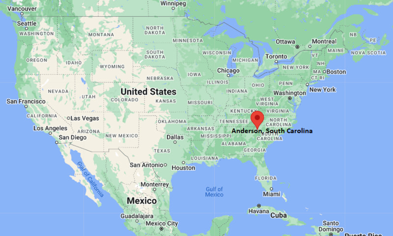
Location Map of Anderson, South Carolina
Ammon Map, Idaho, USA
Where is Ammon?: The Google Map showing the location of Ammon in the U.S. state of Idaho.
Where is Ammon Located?
Ammon is a city located in Bonneville County of Idaho, United States. Ammon lies at approximately 43.46964 Degrees North latitude and -111.967 Degrees West longitude. According to the 2020 U.S. Census, the population of Ammon city is 17,694 people and the city has a total area of 7.606 sq mi. The city has numerous parks and recreational facilities.
US Highway 20, Interstate 15 (nearby), US Highway 26
Rail Service
Freight Rail Service
Public Transit
Greater Idaho Falls Transit Services
Ammon is part of the Idaho Falls metropolitan area and functions as a major residential and commercial community.
Interstate 15 provides convenient access to Pocatello, Rexburg and Montana.
Idaho Falls Regional Airport is located only a few miles from the city center.
The city is known nationally for its innovative municipal broadband network.
Outdoor recreation opportunities are available throughout eastern Idaho and nearby Yellowstone region.
Key Landmarks and Places to Visit in Ammon, Idaho
Landmark Name
Type
McCowin Park
Community Park
Tautphaus Park Zoo
Zoo
Idaho Falls River Walk
Scenic Attraction
Museum of Idaho
Museum
Sandy Downs
Event and Recreation Center
East Idaho Aquarium
Aquarium
Freeman Park
Outdoor Recreation Area
Idaho Falls Greenbelt
Walking Trail
Yellowstone Bear World
Wildlife Attraction
Heise Hot Springs
Nearby Attraction
Colleges and Universities Near Ammon, Idaho
Institution Name
Type
Distance
Notable For
College of Eastern Idaho
Community College
4 mi
Technical and workforce education
University of Idaho Center - Idaho Falls
Public University
5 mi
Graduate and professional programs
Idaho State University - Idaho Falls
Public University
5 mi
Healthcare and technology programs
Brigham Young University-Idaho
Private University
30 mi
Undergraduate education
College of Southern Idaho Outreach Programs
Community College
4 mi
Continuing education
Waterbodies in and Near Ammon, Idaho
Snake River, Sand Creek, Willow Creek, Idaho Falls Reservoir Area, Ririe Reservoir, Henrys Fork, Blacktail Reservoir, Palisades Reservoir, South Fork Snake River, Gem Lake
Golf Courses in and Near Ammon, Idaho
Pinecrest Golf Course, Sand Creek Golf Course, Sage Lakes Golf Club, Cedar Park Golf Course, Jefferson Hills Golf Course, Teton Lakes Golf Course, Rexburg Municipal Golf Course, Heise Hills Golf Course
Ammon, Idaho - Key Historical Facts
Ammon was originally settled in the late nineteenth century by pioneers in the Snake River Valley.
The community was named after Ammon, a missionary figure mentioned in the Book of Mormon.
Agriculture played a major role in the area's early development.
Residential growth accelerated after World War II as neighboring Idaho Falls expanded.
Ammon officially incorporated as a city in 1905 and has grown into one of Idaho's fastest-growing communities.
Today, Ammon is known for its family-friendly neighborhoods, technology initiatives and proximity to outdoor recreation destinations.