Where is Chubbuck Located? - Chubbuck is a city located in the Bannock County of Idaho, United States. Chubbuck lies between 41.4828 Degrees North latitudes and 87.3328 Degrees West longitudes.
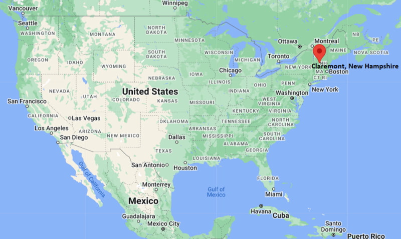
Location Map of Claremont, New Hampshire
Chubbuck Map, Idaho, USA
Where is Chubbuck?: The Google Map showing the location of Chubbuck in the U.S. state of Idaho.
Where is Chubbuck Located?
Chubbuck is a city located in the Bannock County of Idaho, United States. Chubbuck lies between 41.4828 Degrees North latitudes and 87.3328 Degrees West longitudes. According to 2020 U.S.census, the population of Chubbuck city is 15570 people and the city has a total area of 5.9 sq mi. The city has numerous parks and recreational facilities.
Transportation and Connectivity in Chubbuck, Idaho
Transportation
Details
Airport Name
Pocatello Regional Airport
IATA Code
PIH
Major Airport
Idaho Falls Regional Airport
Major Highways
Interstate 15, Interstate 86 (nearby), U.S. Route 91
Train Service
Freight rail service
Local Bus/Transit Service
Pocatello Regional Transit (PRT)
Interstate 15 runs through Chubbuck, providing convenient access to Idaho Falls, Salt Lake City, and other regional destinations.
Pocatello Regional Airport is about 10 miles south and offers scheduled commercial flights and general aviation services.
Pocatello Regional Transit operates bus routes connecting Chubbuck with Pocatello, Idaho State University, shopping centers, and medical facilities.
Interstate 86, located nearby, provides access to Twin Falls and western Idaho communities.
Chubbuck is a rapidly growing residential and commercial community that forms part of the greater Pocatello metropolitan area.
Key Landmarks and Places to Visit in Chubbuck, Idaho
Landmark Name
Type
Stuart Park
Community Park
Capell Park
City Park
Pocatello Zoo
Zoo
Idaho Museum of Natural History
Natural History Museum
Ross Park
Regional Park
Museum of Clean
Specialty Museum
Fort Hall Replica
Historic Landmark
Bannock County Historical Museum
History Museum
Pebble Creek Ski Area
Ski Resort
Portneuf Greenway Trail
Multi-Use Trail
Colleges and Universities in and near Chubbuck, Idaho
Institution Name
Type
Level
Notable For
Idaho State University
Public
University
Health sciences, engineering, pharmacy, and research
College of Eastern Idaho
Public
Community College
Career and technical education, workforce training, and transfer programs
Brigham Young University-Idaho
Private
University
Liberal arts, business, education, and science
University of Idaho
Public
University
Agriculture, engineering, law, and research
College of Southern Idaho
Public
Community College
Technical education, business, and healthcare programs
Waterbodies in Chubbuck, Idaho
Portneuf River, Ross Fork Creek, Bannock Creek, American Falls Reservoir, Snake River, Scout Mountain Reservoir, Pebble Creek, Edson Fichter Pond
Golf Courses in and near Chubbuck, Idaho
Highland Golf Course, Juniper Hills Country Club, Riverside Golf Course, Sage Lakes Golf Course, Blackfoot Golf Course, Pinecrest Golf Course, Sand Creek Golf Course, Jefferson Hills Golf Course
Chubbuck, Idaho - Key Historical Facts
Chubbuck was established in the late nineteenth century as a small agricultural settlement along important transportation routes in southeastern Idaho.
The community grew with the expansion of the railroad and the development of farming and livestock operations throughout Bannock County.
Following World War II, residential development accelerated as nearby Pocatello expanded and regional employment opportunities increased.
The City of Chubbuck officially incorporated in 1964 and has since experienced steady commercial and suburban growth.
Its location along Interstate 15 has encouraged retail development, making Chubbuck an important shopping destination within the Pocatello metropolitan area.
Today, Chubbuck is recognized for its family-friendly neighborhoods, growing business district, outdoor recreation opportunities, and close connection with Idaho State University and the surrounding Portneuf Valley.