Where is Burlington Located? - Burlington is a city located in the Alamance County of Kentucky, United States. Burlington lies between 39.03241 Degrees North latitudes and -84.7414 Degrees West longitudes.
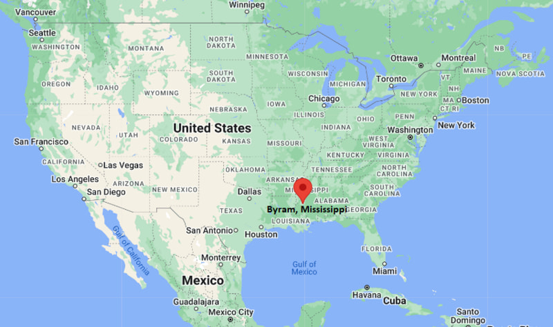
Location Map of Byram, Mississippi
Burlington Map, Kentucky, USA
Where is Burlington?: The Google Map showing the location of Burlington in the U.S. state of Kentucky.
Where is Burlington Located?
Burlington is a city located in the Alamance County of North Carolina, United States. Burlington lies between 39.03241 Degrees North latitude and -84.7414 Degrees West longitude. According to the 2020 U.S. Census, the population of Burlington city is 57,303 people and the city has a total area of 8.813 sq mi. The city has numerous parks and recreational facilities.
Kentucky Route 18 - Main east-west corridor connecting Burlington with Florence, Union and surrounding Boone County communities.
Kentucky Route 237 - Provides access to Hebron, Cincinnati/Northern Kentucky International Airport and Interstate 275.
Interstate 71/75 - Major north-south interstate serving the Cincinnati metropolitan area and located a few miles east of the city.
Interstate 275 - Beltway around Greater Cincinnati providing access to Kentucky, Ohio and Indiana.
Cincinnati/Northern Kentucky International Airport - Located just north of Burlington and serves domestic and international travelers.
Key Landmarks and Places to Visit in Burlington, Kentucky
Landmark Name
Type
Boone County Veterans Memorial Park
Memorial Park
Dinsmore Homestead
Historic Site
England-Idlewild Park
Regional Park
Boone County Arboretum
Arboretum
Idlewild Park
Community Park
Big Bone Lick State Historic Site
State Historic Site
Creation Museum
Museum
Cincinnati/Northern Kentucky International Airport Viewing Area
Observation Area
Rabbit Hash Historic District
Historic District
Boone County Fairgrounds
Event Venue
Colleges and Universities in Burlington, Kentucky
Institution Name
Type
Level
Notable For
Northern Kentucky University
Public
University
Research and professional programs
Gateway Community and Technical College
Public
Community College
Career and technical education
Thomas More University
Private
University
Liberal arts education
Beckfield College
Private
College
Healthcare and business programs
Boone County Schools
Public
K-12 District
Public education services
Waterbodies in Burlington, Kentucky
Ohio River, Gunpowder Creek, Woolper Creek, Middle Creek, Bullock Pen Lake, Big Bone Creek, Banklick Creek, Licking River
Golf Courses in Burlington, Kentucky
Lassing Pointe Golf Course, Boone Links Golf Course, Traditions Golf Club, Meadowood Golf Course, World of Golf, Hickory Sticks Golf Club, Sugar Ridge Golf Club, Twin Oaks Golf and Plantation Club
Burlington, Kentucky - Key Historical Facts
Burlington was established in 1799 and became the county seat of Boone County shortly after the county was formed.
The community developed as an agricultural and trading center serving farms throughout northern Kentucky.
Its location near the Ohio River and later transportation routes supported steady commercial growth during the nineteenth century.
For much of its history, Burlington remained a small rural county seat before suburban development expanded from the Cincinnati metropolitan area.
The construction and growth of nearby Cincinnati/Northern Kentucky International Airport helped transform the local economy during the twentieth century.
Today, Burlington combines its historic courthouse district with modern residential neighborhoods, parks, and regional businesses.