
Springfield is the capital city of Illinois and the county seat of Sangamon County in central Illinois. Located about 85 miles northeast of St. Louis, Missouri, the city lies in the heart of the state's central prairie region. Springfield is known for the Illinois State Capitol, Abraham Lincoln's home and presidential history, the Lincoln Tomb, and its important role in Illinois government.
Location Map of Springfield, Sangamon County, Illinois
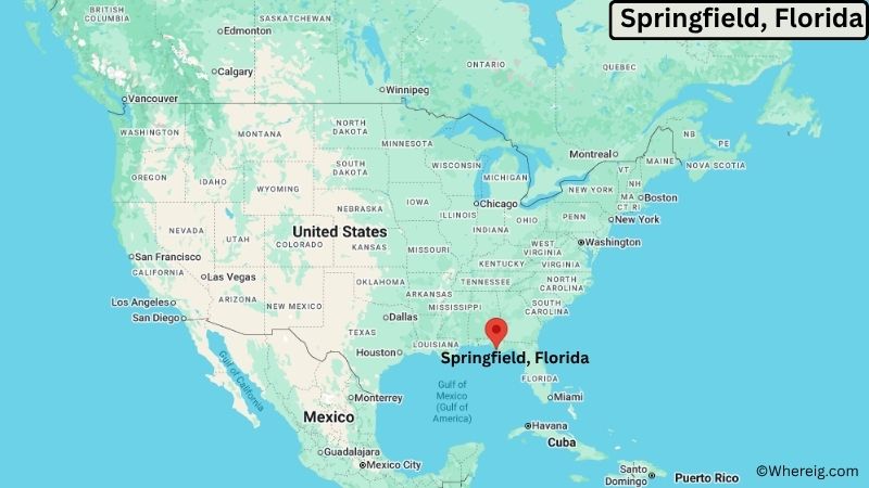
About Map: The map shows the location of Springfield in Sangamon County, in the U.S. state of Illinois.
Springfield Map, Illinois
About Springfield Map: The Google Map highlights the location of Springfield in Sangamon County, Illinois. Use the zoom, satellite, and street-view options to explore the city's neighborhoods, roads, and nearby places.
Where is Springfield Located?
Springfield is a city located in Sangamon County, Illinois, the United States. It lies in central Illinois, about 85 miles northeast of St. Louis, Missouri, and roughly 65 miles southwest of Bloomington. Decatur is about 45 miles east, while Jacksonville is approximately 35 miles west of Springfield. The city is located at 39.7817° North latitude and 89.6501° West longitude. The 2020 Census recorded 114,394 residents. Springfield has about 61.14 square miles (158.35 square kilometers) of land area. The city has served as Illinois' state capital since 1839 and remains the center of state government. Springfield is closely associated with Abraham Lincoln, who lived and worked there before becoming president. The Abraham Lincoln Presidential Library and Museum, Lincoln Home National Historic Site, and Lincoln Tomb are major landmarks. The city also contains the Illinois State Capitol, a prominent government building in downtown Springfield. A unique feature of Springfield is its deep connection to Lincoln's life and its continuing role as the political center of Illinois.
Most Viewed US Maps
| USA Sttae Map | USA Region Map | USA Road Map |
| USA County Map | Where is USA in World Map? | US ZIP Code Map |
| USA Time Zones Map | US State and Capitals Map | USA Physical Map |
Find 4,400+ U.S. Cities by State - Explore Their Locations and Get Detailed Information
Springfield City Facts
| City | Springfield |
| State | Illinois |
| County | Sangamon County |
| Country | United States |
| Region | Central Illinois |
| Incorporated | April 2, 1832 |
| Founded | 1821 |
| Total Area | 61.14 sq mi (158.35 sq km) land area |
| Land Area | 61.14 sq mi (158.35 sq km) |
| Water Area | About 0.3 sq mi (0.8 sq km) |
| Elevation | About 558 ft (170 m) |
| Population (2023 estimate) | About 113,000 |
| Population (2020 Census) | 114,394 |
| Population Density | 1,871.1 people per sq mi |
| Time Zone | Central Time (CST/CDT) |
| ZIP Codes | 62563, 62629, 62670, 62701, 62702, 62703, 62704, 62706, 62707, 62711, 62712 |
| Area Code | 217, 447 |
| Major Highways | Interstate 55, Interstate 72, U.S. Route 36, U.S. Route 66 |
| Public Transit | Sangamon Mass Transit District |
| Major Attractions | Illinois State Capitol, Abraham Lincoln Presidential Library and Museum, Lincoln Home National Historic Site, Lincoln Tomb, Illinois State Museum |
| Official Website | https://www.springfield.il.us/ |
Distance from Springfield, IL to Nearby Cities
- Chatham, IL – 8 miles (13 km)
- Rochester, IL – 10 miles (16 km)
- Riverton, IL – 10 miles (16 km)
- Lincoln, IL – 30 miles (48 km)
- Jacksonville, IL – 35 miles (56 km)
- Taylorville, IL – 30 miles (48 km)
- Decatur, IL – 45 miles (72 km)
- Jacksonville, IL – 35 miles (56 km)
- Bloomington, IL – 65 miles (105 km)
- Normal, IL – 65 miles (105 km)
- Quincy, IL – 100 miles (161 km)
- Champaign, IL – 90 miles (145 km)
- Peoria, IL – 75 miles (121 km)
- St. Louis, MO – 85 miles (137 km)
- Edwardsville, IL – 80 miles (129 km)
- Effingham, IL – 75 miles (121 km)
- Danville, IL – 120 miles (193 km)
- Chicago, IL – 200 miles (322 km)
Top Attractions in Springfield, Illinois
- Illinois State Capitol – The seat of Illinois state government and one of Springfield's most recognizable landmarks, with its large dome rising above downtown.
- Abraham Lincoln Presidential Library and Museum – A major museum documenting Abraham Lincoln's life, presidency, family, and the history of the Civil War era.
- Lincoln Home National Historic Site – The preserved Springfield home where Abraham Lincoln lived with his family before becoming president.
- Lincoln Tomb – The burial place of Abraham Lincoln, Mary Todd Lincoln, and several members of their family at Oak Ridge Cemetery.
- Old State Capitol State Historic Site – A restored historic government building where Lincoln delivered his famous House Divided speech and where he worked as an Illinois politician.
- Illinois State Museum – A museum featuring exhibits on Illinois natural history, archaeology, geology, and cultural heritage.
- Illinois Governor's Mansion – The official residence of the governor of Illinois and one of the oldest continuously used executive residences in the United States.
- Dana-Thomas House State Historic Site – A Frank Lloyd Wright-designed home featuring extensive Prairie School architecture, decorative arts, and original furnishings.
- Washington Park – A large historic park with gardens, walking paths, recreational facilities, ponds, and the Thomas Rees Memorial Carillon.
- Route 66 Drive-In and Historic Sites – Springfield has several sites connected with historic U.S. Route 66, which passes through the region and helped shape the city's transportation history.
Airports Near Springfield, Illinois
- Abraham Lincoln Capital Airport (SPI) – 5 miles
- Decatur Airport (DEC) – 50 miles
- Central Illinois Regional Airport (BMI) – 70 miles
- St. Louis Lambert International Airport (STL) – 95 miles
Sources:
Population and area data sourced from the United States Census Bureau (2020 Census). General city information referenced from the official Springfield city website and local government records.
Illinois Related Maps and Info
- Where is Arlington Heights
- Where is Bartlett
- Where is Belleville
- Where is Berwyn
- Where is Bloomington
- Where is Bolingbrook
- Where is Buffalo Grove
- Where is Carol Stream
- Where is Carpentersville
- Where is Champaign
- Where is Cicero
- Where is Crystal Lake
- Where is Decatur
- Where is DeKalb
- Where is Des Plaines
- Where is Downers Grove
- Where is Elgin
- Where is Elmhurst
- Where is Evanston
- Where is Glenview
- Where is Hanover Park
- Where is Hoffman Estates
- Where is Joliet
- Where is Lombard
- Where is Moline
- Where is Mount Prospect
- Where is Naperville
- Where is Normal
- Where is Oak Lawn
- Where is Oak Park
- Where is Orland Park
- Where is Palatine
- Where is Park Ridge
- Where is Peoria
- Where is Plainfield
- Where is Quincy
- Where is Rock Island
- Where is Rockford
- Where is Romeoville
- Where is Schaumburg
- Where is Skokie
- Where is Streamwood
- Where is Tinley Park
- Where is Urbana
- Where is Waukegan
- Where is Wheaton
- Where is Wheeling