Where is Chantilly Located? - Chantilly is a city located in the Fairfax County of Virginia, United States. Chantilly lies between 32.7995738 Degrees North latitudes and 97.2691817 Degrees West longitudes.
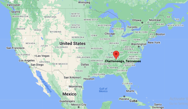
Location Map of Chattanooga, Tennessee
Chantilly Map, Virginia, USA
Where is Chantilly?: The Google Map showing the location of Chantilly in the U.S. state of Virginia.
Where is Chantilly Located?
Chantilly is a city located in the Fairfax County of Virginia, United States. Chantilly lies between 32.7995738 Degrees North latitudes and 97.2691817 Degrees West longitudes. According to 2020 U.S.census, the population of Chantilly city is 24301 people and the city has a total area of 12 sq mi. The city has numerous parks and recreational facilities.
Transportation and Connectivity in Chantilly, Virginia
Transportation
Details
Airport Name
Washington Dulles International Airport
IATA Code
IAD
Port
No commercial port
Major Highways
U.S. Route 50, Virginia Route 28, Interstate 66, Fairfax County Parkway
Train/Amtrak Service
Nearest Amtrak station in Alexandria and Union Station (Washington, D.C.)
Local Bus/Transit Service
Fairfax Connector and WMATA Metrobus
U.S. Route 50, Route 28, and nearby Interstate 66 provide direct access to Washington, D.C., Northern Virginia, and Dulles Airport.
Washington Dulles International Airport is approximately 8 miles northwest and offers extensive domestic and international air service.
Fairfax Connector and Metrobus routes connect Chantilly with nearby Metrorail stations, employment centers, and neighboring communities.
Amtrak passenger rail service is available from Alexandria and Washington Union Station.
Chantilly is known for its technology companies, proximity to Washington Dulles International Airport, and attractions such as the Smithsonian National Air and Space Museum's Steven F. Udvar-Hazy Center.
Key Landmarks and Places to Visit in Chantilly, Virginia
Landmark Name
Type
Steven F. Udvar-Hazy Center
Aviation and Space Museum
Sully Historic Site
Historic Plantation Museum
Ellanor C. Lawrence Park
Nature Park
Flat Lick Stream Valley Park
Nature Preserve
Dulles Expo Center
Convention and Exhibition Center
Cub Run Recreation Center
Recreation Center
Cox Farms
Seasonal Family Attraction
Steven F. Udvar-Hazy Center Observation Tower
Airport Viewing Area
Sully Highlands Park
Community Park
Bull Run Regional Park
Regional Park
Colleges and Universities in and near Chantilly, Virginia
Institution Name
Type
Level
Notable For
Northern Virginia Community College (Loudoun Campus)
Public
Community College
Transfer degrees, workforce training, and technical education
George Mason University
Public
University
Engineering, business, public policy, and research
George Washington University Virginia Science and Technology Campus
Private
Graduate Campus
Health sciences, engineering, and biomedical research
Marymount University
Private
University
Business, cybersecurity, nursing, and education
Shenandoah University Northern Virginia Campus
Private
University
Health professions, pharmacy, and continuing education
Waterbodies in Chantilly, Virginia
Flat Lick Stream, Cub Run, Big Rocky Run, Popes Head Creek, Difficult Run, Bull Run, Occoquan River, Lake Fairfax
Golf Courses in and near Chantilly, Virginia
Pleasant Valley Golf Club, Westfields Golf Club, Chantilly National Golf and Country Club, Twin Lakes Golf Course, Penderbrook Golf Club, Herndon Centennial Golf Course, South Riding Golf Club, 1757 Golf Club
Chantilly, Virginia - Key Historical Facts
Chantilly takes its name from the nineteenth-century Chantilly Plantation, which was established in the area before the American Civil War.
The community experienced significant activity during the Civil War, including the nearby Battle of Chantilly (Battle of Ox Hill) fought in September 1862.
For much of its history, Chantilly remained a rural farming community before suburban development accelerated after World War II.
The opening of Washington Dulles International Airport in 1962 transformed Chantilly into an important center for aviation, technology, and business.
The arrival of major government contractors, technology firms, and data centers fueled rapid residential and commercial growth throughout Northern Virginia.
Today, Chantilly is recognized for its strong technology sector, excellent transportation links, historic landmarks, and the Smithsonian National Air and Space Museum's Steven F. Udvar-Hazy Center.