Where is Columbia Located? - Columbia is a city located in the Richland, Lexington County of South Carolina, United States. Columbia lies between 34.07261 Degrees North latitudes and -81.1796 Degrees West longitudes.
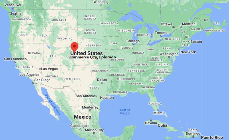
Location Map of Commerce City, Colorado
Columbia Map, South Carolina, USA
Where is Columbia?: The Google Map showing the location of Columbia in the U.S. state of South Carolina.
Where is Columbia Located?
Columbia is a city located in the Richland, Lexington County of South Carolina, United States. Columbia lies between 34.07261 Degrees North latitudes and -81.1796 Degrees West longitudes. According to 2020 U.S.census, the population of Columbia city is 136632 people and the city has a total area of 138.814 sq mi. The city has numerous parks and recreational facilities.
Columbia, South Carolina Climate and Weather Overview
Month
Avg High (°F)
Avg Low (°F)
Avg Rainfall (in)
January
58
36
3.6
April
76
53
2.8
July
92
73
5.5
October
78
56
3.1
Annual
77
55
46.2
Climate Attribute
Details
Climate Classification (Köppen)
Humid Subtropical (Cfa)
Annual Rainfall
About 46.2 in
Annual Sunshine Days
Approximately 218 days
Hurricane/Tornado Risk
Occasional tropical storm impacts; low to moderate tornado risk
Snowfall
About 1 in annually
Driving Distances from Columbia, South Carolina
City
State
Distance (mi)
Approx. Drive Time
West Columbia
South Carolina
2
5 min
Cayce
South Carolina
3
8 min
Lexington
South Carolina
14
20 min
Camden
South Carolina
34
40 min
Orangeburg
South Carolina
38
45 min
Sumter
South Carolina
45
50 min
Greenville
South Carolina
103
1 hr 45 min
Charleston
South Carolina
114
2 hr
Charlotte
North Carolina
94
1 hr 40 min
Atlanta
Georgia
215
3 hr 30 min
Transportation and Connectivity in Columbia, South Carolina
Feature
Details
Airport Name
Columbia Metropolitan Airport
IATA Code
CAE
Port
Columbia Inland Port
Major Highways
Interstate 20, Interstate 26, Interstate 77, U.S. Highway 1, U.S. Highway 21, U.S. Highway 76, U.S. Highway 378
Train/Amtrak Service
Amtrak Silver Star service
Local Bus/Transit Service
The COMET regional bus system
Interstate 20 - Major east-west interstate connecting Columbia with Atlanta and Florence.
Interstate 26 - Links Columbia with Charleston to the southeast and Spartanburg to the northwest.
Interstate 77 - Connects the city with Charlotte, North Carolina, and the Columbia metropolitan area.
U.S. Highway 378 - Major route serving downtown Columbia and surrounding communities.
Assembly Street - One of the city's primary downtown corridors connecting the South Carolina State House, the University of South Carolina, and commercial districts.
Key Landmarks and Places to Visit in Columbia, South Carolina
Landmark Name
Type
South Carolina State House
Historic Government Building
Riverbanks Zoo & Garden
Zoo & Botanical Garden
University of South Carolina
Public University Campus
South Carolina State Museum
Museum
Congaree National Park
National Park
Finlay Park
City Park
Columbia Museum of Art
Art Museum
Colonial Life Arena
Sports & Entertainment Arena
Sesquicentennial State Park
State Park
Saluda Shoals Park
Regional Park
Colleges and Universities in Columbia, South Carolina
Institution Name
Type
Level
Notable For
University of South Carolina
Public
University
Flagship research university, business, engineering, and public health
Columbia College
Private
College
Liberal arts and teacher education
Benedict College
Private
College
Historically Black liberal arts college
Allen University
Private
University
Historically Black university
Midlands Technical College
Public
Technical College
Career training and workforce education
Waterbodies in Columbia, South Carolina
Congaree River, Broad River, Saluda River, Lake Murray, Cedar Creek, Gills Creek, Crane Creek, Rocky Branch Creek, Lake Katherine, Parr Reservoir
Golf Courses in Columbia, South Carolina
Cobblestone Park Golf Club, Fort Jackson Golf Club, Golden Hills Golf & Country Club, Oak Hills Golf Club, Charwood Golf Club, Windermere Club, LinRick Golf Course, The Spur at Northwoods Golf Club
Columbia, South Carolina - Key Historical Facts
Columbia was established in 1786 and became South Carolina's first city planned specifically to serve as the state capital.
The city developed as an important center for government, education, and commerce because of its central location within the state.
During the American Civil War, much of downtown Columbia was destroyed by fire in 1865 during the final months of the conflict.
The founding and growth of the University of South Carolina helped establish Columbia as one of the state's leading educational and research centers.
Throughout the 20th century, Columbia expanded through manufacturing, military activity at Fort Jackson, healthcare, and government employment.
Today, Columbia is recognized as South Carolina's capital city and is known for its universities, museums, outdoor recreation, thriving business community, and rich cultural heritage.