
Where is Easley Located? - Easley is a city located in the Pickens, Anderson County of South Carolina, United States. Easley lies between 35.9987007 Degrees North latitudes and 96.1141664 Degrees West longitudes.
Location Map of Easton, Pennsylvania
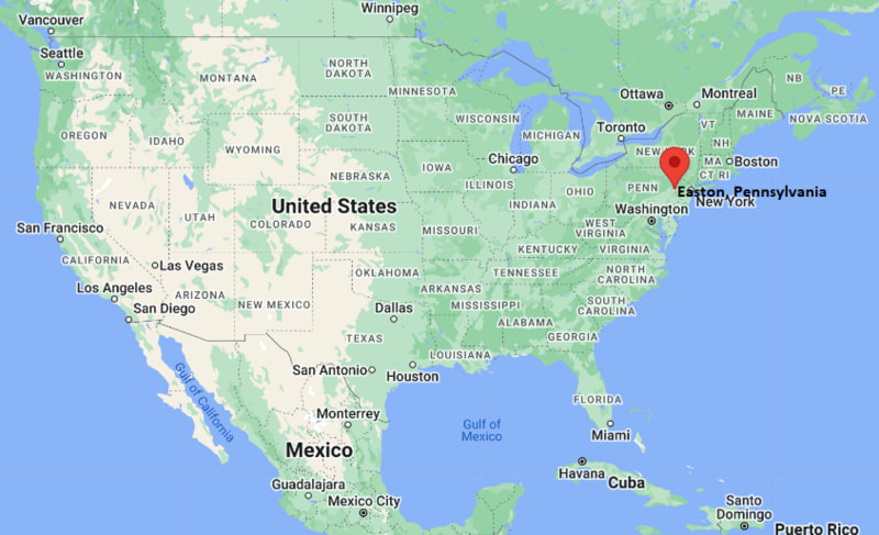
Easley Map, South Carolina, USA
Where is Easley?: The Google Map showing the location of Easley in the U.S. state of South Carolina.
Where is Easley Located?
Easley is a city located in the Pickens, Anderson County of South Carolina, United States. Easley lies between 35.9987007 Degrees North latitudes and 96.1141664 Degrees West longitudes. According to 2020 U.S.census, the population of Easley city is 22921 people and the city has a total area of 12.46 sq mi. The city has numerous parks and recreational facilities.
Most Viewed US Maps
| USA Sttae Map | USA Region Map | USA Road Map |
| USA County Map | Where is USA in World Map? | US ZIP Code Map |
| USA Time Zones Map | US State and Capitals Map | USA Physical Map |
Find 4,400+ U.S. Cities by State - Explore Their Locations and Get Detailed Information
Easley, South Carolina Quick Facts
| Property | Details |
|---|---|
| City | Easley |
| County | Pickens County |
| State | South Carolina |
| State Capital | Columbia |
| US Region | Southeastern United States |
| Latitude | 34.8298°N |
| Longitude | 82.6015°W |
| Elevation | 1,020 ft (311 m) |
| Land Area | 12.49 sq mi |
| Water Area | 0.08 sq mi |
| Total Area | 12.57 sq mi |
| Population (2020 Census) | 22,921 |
| Population Density | About 1,835 per sq mi |
| ZIP Codes | 29640, 29642 |
| Area Code | 864 |
| Time Zone Standard | Eastern Standard Time (EST), UTC -5 |
| Time Zone Daylight | Eastern Daylight Time (EDT), UTC -4 |
| Currency | United States Dollar (USD) |
| FIPS Code | 45-22690 |
| Congressional District | South Carolina's 3rd Congressional District |
Nearby Cities to Easley, South Carolina
- Greenville, South Carolina - Northeast - 14 mi
- Pickens, South Carolina - West - 11 mi
- Powdersville, South Carolina - East - 7 mi
- Anderson, South Carolina - Southeast - 21 mi
- Simpsonville, South Carolina - East - 20 mi
- Mauldin, South Carolina - East - 18 mi
- Clemson, South Carolina - West - 16 mi
- Seneca, South Carolina - West - 28 mi
- Travelers Rest, South Carolina - North - 18 mi
- Greer, South Carolina - East - 25 mi
Easley, South Carolina Climate and Weather Overview
| Month | Avg High (°F) | Avg Low (°F) | Avg Rainfall (in) |
|---|---|---|---|
| January | 51 | 31 | 4.2 |
| April | 73 | 49 | 3.8 |
| July | 90 | 70 | 4.9 |
| October | 74 | 52 | 3.2 |
| Annual | 72 | 51 | 50.5 |
| Climate Attribute | Details |
|---|---|
| Climate Classification (Köppen) | Humid Subtropical (Cfa) |
| Annual Rainfall | About 50.5 inches |
| Annual Sunshine Days | Approximately 215 days |
| Hurricane/Tornado Risk | Low hurricane risk; low to moderate tornado risk |
| Snowfall | About 3 inches annually |
Driving Distances from Easley, South Carolina
| City | State | Distance (mi) | Approx. Drive Time |
|---|---|---|---|
| Powdersville | South Carolina | 7 | 10 min |
| Pickens | South Carolina | 11 | 15 min |
| Greenville | South Carolina | 14 | 25 min |
| Travelers Rest | South Carolina | 18 | 25 min |
| Simpsonville | South Carolina | 20 | 30 min |
| Anderson | South Carolina | 21 | 30 min |
| Greer | South Carolina | 25 | 35 min |
| Seneca | South Carolina | 28 | 40 min |
| Spartanburg | South Carolina | 42 | 50 min |
| Columbia | South Carolina | 124 | 2 hr |
Transportation and Connectivity in Easley, South Carolina
| Transportation | Details |
|---|---|
| Airport Name | Greenville-Spartanburg International Airport |
| IATA Code | GSP |
| Port | No commercial seaport |
| Major Highways | U.S. Highway 123, U.S. Highway 178, South Carolina Highway 8, Interstate 85 (nearby) |
| Train/Passenger Rail | No passenger rail service |
| Local Bus/Transit Service | Greenlink Transit (regional access in nearby Greenville) |
- U.S. Highway 123 is the main corridor connecting Easley with Greenville and Clemson.
- Interstate 85, located nearby, provides regional access to Atlanta, Charlotte, and Charlotte metro areas.
- Greenville-Spartanburg International Airport offers domestic and limited international flights within about 40 miles.
- Public transit is limited within Easley, with most residents relying on private vehicles for commuting.
Easley, South Carolina Key Landmarks and Places to Visit
| Landmark Name | Type |
|---|---|
| Doodle Trail | Recreational Trail |
| J.B. Owens Sports Complex | Sports Complex |
| Historic Downtown Easley | Historic District |
| Easley Skate Park | Recreation Park |
| Biblical Times Dinner Theater | Entertainment Venue |
| Pickens County Museum of Art & History | Museum |
| Table Rock State Park | State Park |
| Paris Mountain State Park | State Park |
| Lake Hartwell | Recreation Lake |
| Prisma Health Baptist Easley Hospital Area | Healthcare Landmark |
Colleges and Universities in Easley, South Carolina
| Institution | Type | Level | Notable For |
|---|---|---|---|
| Tri-County Technical College | Public | Community College | Technical education, nursing, and transfer programs |
| Furman University | Private | University | Liberal arts, business, and sciences |
| Clemson University | Public | University | Engineering, agriculture, business, and research |
| North Greenville University | Private | University | Liberal arts, education, and ministry programs |
| Anderson University | Private | University | Business, nursing, education, and arts |
Waterbodies in Easley, South Carolina
Saluda River, Keowee River, Lake Hartwell, Twelve Mile River, Georges Creek, Brushy Creek, Dodd Hill Creek, Rocky River (regional).
Golf Courses in Easley, South Carolina
Easley Golf Club, Smithfields Country Club, Pebble Creek Country Club (nearby), The Preserve at Verdae (regional), Boscobel Golf Club (regional), Cross Creek Plantation (regional).
Easley, South Carolina - Key Historical Facts
- Easley developed in the late 19th century as a railroad town along the Atlanta and Charlotte Air Line Railway.
- The city was named after William King Easley, a railroad official who played a key role in the area's early development.
- Early growth was driven by cotton mills, textile production, and agriculture in the surrounding Piedmont region.
- The arrival of rail transport made Easley an important shipping and trade hub for Pickens County.
- Throughout the 20th century, the textile industry remained central to the local economy before gradually declining.
- Today, Easley is known for its small-town atmosphere, proximity to Greenville and Clemson, outdoor recreation access, and revitalized downtown district.
References
More South Carolina Maps & Info
- Where is Aiken
- Where is Anderson
- Where is Beaufort
- Where is Berea
- Where is Bluffton
- Where is Cayce
- Where is Charleston
- Where is Clemson
- Where is Columbia
- Where is Conway
- Where is Dentsville
- Where is Easley
- Where is Five Forks
- Where is Florence
- Where is Fort Mill
- Where is Gaffney
- Where is Gantt
- Where is Goose Creek
- Where is Greenville
- Where is Greenwood
- Where is Greer
- Where is Hanahan
- Where is Hilton Head Island
- Where is Ladson
- Where is Lake Wylie
- Where is Mauldin
- Where is Moncks Corner
- Where is Mount Pleasant
- Where is Myrtle Beach
- Where is North Augusta
- Where is North Charleston
- Where is North Myrtle Beach
- Where is Oak Grove
- Where is Orangeburg
- Where is Parker
- Where is Port Royal
- Where is Red Hill
- Where is Rock Hill
- Where is Seven Oaks
- Where is Simpsonville
- Where is Socastee
- Where is Spartanburg
- Where is St. Andrews
- Where is Summerville
- Where is Sumter
- Where is Taylors
- Where is Tega Cay
- Where is Wade Hampton
- Where is West Columbia