Where is Cozad Located? - Cozad is a city located in the Dawson County of Nebraska, United States. Cozad lies between 40.86193 Degrees North latitudes and -99.9921 Degrees West longitudes.
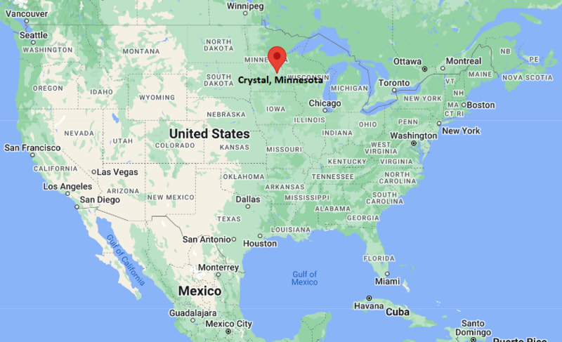
Location Map of Crystal, Minnesota
Cozad Map, Nebraska, USA
Where is Cozad Located?
Cozad is a city located in the Dawson County of Nebraska , United States . Cozad lies between 40.86193 Degrees North latitudes and -99.9921 Degrees West longitudes. According to 2020 U.S.census, the population of Cozad city is 3988 people and the city has a total area of 2.616 sq mi. The city has numerous parks and recreational facilities.
Most Viewed US Maps
Cozad, Nebraska Quick Facts
Nearby Cities to Cozad, Nebraska
Lexington, Nebraska — 18 mi East
Gothenburg, Nebraska — 12 mi West
Kearney, Nebraska — 35 mi East
North Platte, Nebraska — 50 mi West
Elm Creek, Nebraska — 25 mi East
Willow Island, Nebraska — 10 mi South
Eustis, Nebraska — 22 mi Southwest
Elwood, Nebraska — 20 mi Southeast
Oconto, Nebraska — 15 mi North
Farnam, Nebraska — 18 mi West
Cozad, Nebraska Climate and Weather Overview
Month Avg High (°F) Avg Low (°F) Avg Rainfall (in)
January 36 12 0.5 April 62 35 1.8 July 90 64 2.7 October 66 40 1.3 Annual 63 39 22.0
Climate Attribute Value
Climate Classification (Köppen) Humid Continental / Semi-arid transition (Dfa/BSk) Annual Rainfall ~20–23 inches Annual Snowfall ~25–35 inches Annual Sunshine Days ~215 days Tornado Risk Moderate
Driving Distances from Cozad, Nebraska
City State Distance (mi) Approx. Drive Time
Gothenburg NE 12 15 min Lexington NE 18 20 min Kearney NE 35 35 min North Platte NE 50 45 min Grand Island NE 85 1 hr 20 min Hastings NE 95 1 hr 30 min Lincoln NE 150 2 hr 20 min Omaha NE 190 3 hr Broken Bow NE 60 1 hr Holdrege NE 40 40 min
Transportation and Connectivity in Cozad, Nebraska
Mode Details
Airport Kearney Regional Airport (EAR) / North Platte Regional Airport (LBF) Port None (landlocked state) Major Highways I-80, US-30, NE-21 Rail/Amtrak Amtrak California Zephyr stops in nearby cities (Kearney/Holdrege region) Local Transit Limited rural transit services
I-80 — major east-west interstate connecting Cozad to Lincoln and Denver corridor
US-30 — historic transcontinental route running parallel to I-80 through central Nebraska
NE-21 — state highway linking Cozad with smaller agricultural communities
Key Landmarks and Places to Visit in Cozad, Nebraska
Landmark Name Type
Robert Henri Museum Museum Wilson Public Library Library Cozad City Park City Park Cozad Memorial Park Memorial Park Platte River Scenic Area (nearby) Nature Area Johnson Lake State Recreation Area (nearby) State Recreation Area Buffalo Bill Ranch State Historical Park (nearby) Historic Site Fort Kearny State Historical Park (nearby) Historic Park
Places to Visit in Cozad, Nebraska
Landmark Name Type
Downtown Cozad Historic Area Historic District Robert Henri Museum & Art Gallery Art Museum Cozad Community Recreation Center Recreation Center Platte River Trails Access (nearby) Outdoor Recreation Lake McConaughy (regional day trip) Lake Recreation Area Gothenburg Historic District (nearby) Historic Town Area Kearney Museum District (nearby) Museum Area Central Nebraska Scenic Byways Scenic Drive
Colleges and Universities in Cozad, Nebraska
Institution Name Type Level Notable For
Central Community College (nearby Kearney Campus) Public Community College Technical & transfer programs University of Nebraska Kearney Public University Teacher education & business Mid-Plains Community College (North Platte) Public Community College Agriculture & vocational training
Waterbodies in Cozad, Nebraska
Platte River, Lake McConaughy (regional), Johnson Lake, Eustis Reservoir (nearby), Gothenburg Lake (nearby)
Golf Courses in Cozad, Nebraska
Cozad Country Club, Wild Horse Golf Club (nearby Gothenburg), Awarii Dunes Golf Course (nearby Kearney), Lake Maloney Golf Club (nearby North Platte)
Cozad, Nebraska - Key Historical Facts
Cozad was founded in 1873 as a railroad town along the Union Pacific line.
The city was named after early settler John J. Cozad, who played a key role in its establishment.
It became an important stop for westward expansion and cattle transportation.
The town developed as an agricultural center supported by irrigation from the Platte River valley.
Artist Robert Henri, a leader of the Ashcan School, was born in Cozad.
Today, Cozad remains a small agricultural community with strong railroad heritage.
References
Other Nebraska Maps & Info
Location Map of Nebraska Cities
Popular US Cities
About USA
US Counties
World Countries
World Cup 2026