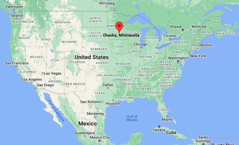
Where is Chambersburg Located? - Chambersburg is a city located in the Franklin County of Pennsylvania, United States. Chambersburg lies between 46.2652367 Degrees North latitudes and 96.6059072 Degrees West longitudes.
Location Map of Chaska, Minnesota
Chambersburg Map, Pennsylvania, USA
Where is Chambersburg?: The Google Map showing the location of Chambersburg in the U.S. state of Pennsylvania.
Where is Chambersburg Located?
Chambersburg is a city located in the Franklin County of Pennsylvania, United States. Chambersburg lies between 46.2652367 Degrees North latitudes and 96.6059072 Degrees West longitudes. According to 2020 U.S.census, the population of Chambersburg city is 21903 people and the city has a total area of 6.92 sq mi. The city has numerous parks and recreational facilities.
Nearby Cities and Towns to Chambersburg, Pennsylvania
Scotland, Pennsylvania - 3 mi
Fayetteville, Pennsylvania - 6 mi
Greencastle, Pennsylvania - 11 mi
Waynesboro, Pennsylvania - 13 mi
Shippensburg, Pennsylvania - 18 mi
Hagerstown, Maryland - 24 mi
Carlisle, Pennsylvania - 38 mi
Gettysburg, Pennsylvania - 26 mi
Martinsburg, West Virginia - 40 mi
Harrisburg, Pennsylvania - 55 mi
Chambersburg, Pennsylvania Climate and Weather Overview
Month
Avg High (°F)
Avg Low (°F)
Avg Rainfall (in)
January
39
22
2.9
April
63
40
3.5
July
86
65
4.0
October
66
44
3.1
Annual
64
43
39.8
Climate Attribute
Details
Climate Classification (Köppen)
Humid Continental (Dfa)
Annual Rainfall
About 39.8 in
Annual Sunshine Days
About 198 days
Hurricane/Tornado Risk
Low hurricane risk and low tornado risk
Snowfall
About 29 in annually
Driving Distances from Chambersburg, Pennsylvania
City
State
Distance (mi)
Approx. Drive Time
Scotland
Pennsylvania
3
5 min
Fayetteville
Pennsylvania
6
10 min
Greencastle
Pennsylvania
11
15 min
Waynesboro
Pennsylvania
13
20 min
Shippensburg
Pennsylvania
18
20 min
Hagerstown
Maryland
24
30 min
Gettysburg
Pennsylvania
26
35 min
Carlisle
Pennsylvania
38
40 min
Martinsburg
West Virginia
40
45 min
Harrisburg
Pennsylvania
55
1 hr
Transportation and Connectivity in Chambersburg, Pennsylvania
Transportation
Details
Airport Name
Hagerstown Regional Airport
IATA Code
HGR
Port
No commercial port
Major Highways
Interstate 81, U.S. Route 11, U.S. Route 30, U.S. Route 30 Business, Pennsylvania Route 16
Train/Amtrak Service
Nearest Amtrak station in Harrisburg
Local Bus/Transit Service
rabbittransit Franklin County and Capitol Area Transit connections
Interstate 81 is the primary transportation corridor, connecting Chambersburg with Harrisburg, Hagerstown, and the Mid-Atlantic region.
Hagerstown Regional Airport is approximately 18 miles south, while larger commercial airports are available in Harrisburg, Baltimore, and Washington.
rabbittransit provides public transportation throughout Franklin County with regional connections to nearby communities.
Amtrak passenger rail service is available from Harrisburg, offering routes to Philadelphia, New York City, and Pittsburgh.
Chambersburg is the commercial and administrative center of Franklin County and is known for its manufacturing sector, Civil War history, and strategic location in south-central Pennsylvania.
Key Landmarks and Places to Visit in Chambersburg, Pennsylvania
Landmark Name
Type
The Capitol Theatre Center
Performing Arts Theater
Franklin County Visitors Bureau
Visitor Center
Franklin County Historical Society - Kittochtinny Historical Society
History Museum
Wilson College Campus
Historic College Campus
Norlo Park
Community Park
Caledonia State Park
State Park
Letterkenny Army Depot Museum
Military Museum
Gettysburg National Military Park
National Military Park
Conococheague Creek Greenway
Nature Trail
Cluggy's Family Amusement Center
Family Entertainment Center
Colleges and Universities in and near Chambersburg, Pennsylvania
Institution Name
Type
Level
Notable For
Wilson College
Private
College
Liberal arts, equestrian studies, education, and nursing
Penn State Mont Alto
Public
Commonwealth Campus
Forestry, health sciences, and transfer programs
Shippensburg University of Pennsylvania
Public
University
Business, education, criminal justice, and sciences
Hagerstown Community College
Public
Community College
Associate degrees, workforce training, and transfer programs
Mount St. Mary's University
Private
University
Business, liberal arts, education, and theology
Waterbodies in Chambersburg, Pennsylvania
Conococheague Creek, Falling Spring Branch, Rocky Spring Lake, Letterkenny Reservoir, Cowans Gap Lake, Laurel Lake, Antietam Creek, Potomac River
Golf Courses in and near Chambersburg, Pennsylvania
Scotland Run Golf Club, Penn National Golf Club & Inn, Caledonia Golf Club, Greencastle Greens Golf Club, Waynesboro Country Club, Black Rock Golf Course, Carroll Valley Golf Course, Mountain View Golf Club
Chambersburg, Pennsylvania - Key Historical Facts
Chambersburg was founded in 1764 by Benjamin Chambers, who built a gristmill and established a settlement along Falling Spring Branch.
The borough became an important transportation and trading center because of its location along early wagon routes through the Cumberland Valley.
During the American Civil War, Chambersburg became the only major Northern town intentionally burned by Confederate forces when it was destroyed in July 1864.
The community rebuilt after the war and developed into a regional center for manufacturing, agriculture, and commerce.
The nearby Letterkenny Army Depot, established during World War II, has remained an important employer and military logistics facility.
Today, Chambersburg is recognized for its Civil War heritage, vibrant downtown, educational institutions, manufacturing industries, and convenient location along Interstate 81.