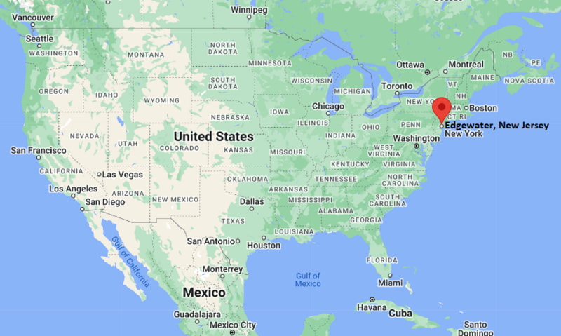
Where is Easton Located? - Easton is a city located in the Northampton County of Pennsylvania, United States. Easton lies between 48.2329668 Degrees North latitudes and 101.2922906 Degrees West longitudes.
Location Map of Edgewater, New Jersey
Easton Map, Pennsylvania, USA
Where is Easton?: The Google Map showing the location of Easton in the U.S. state of Pennsylvania.
Where is Easton Located?
Easton is a city located in the Northampton County of Pennsylvania, United States. Easton lies between 48.2329668 Degrees North latitudes and 101.2922906 Degrees West longitudes. According to 2020 U.S.census, the population of Easton city is 28127 people and the city has a total area of 4.26 sq mi. The city has numerous parks and recreational facilities.
Transportation and Connectivity in Easton, Pennsylvania
Transportation
Details
Airport Name
Lehigh Valley International Airport
IATA Code
ABE
Port
Delaware River recreational boat access
Major Highways
Interstate 78, U.S. Route 22, PA Route 33, PA Route 611
Train/Amtrak Service
No local passenger rail; nearest Amtrak station at Bethlehem (bus connection) or Newark, NJ
Local Bus/Transit Service
LANta (Lehigh and Northampton Transportation Authority)
Interstate 78 — Major east-west interstate connecting Easton with Harrisburg and New York metropolitan area.
U.S. Route 22 — Regional highway linking Easton with Allentown and western New Jersey.
Pennsylvania Route 33 — North-south expressway connecting the Lehigh Valley with the Pocono Mountains.
Pennsylvania Route 611 — Historic route following the Delaware River corridor through eastern Pennsylvania.
Places to Visit in Easton, Pennsylvania
Landmark Name
Type
Crayola Experience
Family Attraction
State Theatre Center for the Arts
Performing Arts Theater
National Canal Museum
Museum
Sigal Museum
History Museum
Karl Stirner Arts Trail
Art Trail
Hugh Moore Park
Park
Nurture Nature Center
Science Center
Lafayette College Campus
Historic Campus
Scott Park
Riverside Park
Delaware and Lehigh National Heritage Corridor
Heritage Site
Colleges and Universities in Easton, Pennsylvania
Institution Name
Type
Level
Notable For
Lafayette College
Private
University
Liberal arts and engineering
Northampton Community College
Public
Community College
Career and transfer programs
Lehigh University
Private
University
Engineering and research
Moravian University
Private
University
Liberal arts education
Cedar Crest College
Private
University
Women's higher education
Muhlenberg College
Private
University
Liberal arts programs
DeSales University
Private
University
Healthcare and business
Easton Area School District
Public
K–12 District
Public education
Waterbodies in Easton, Pennsylvania
Delaware River, Lehigh River, Bushkill Creek, Monocacy Creek, Canal Park Canal, Delaware Canal, Forks Creek, Martins Creek
Golf Courses in Easton, Pennsylvania
Riverview Country Club, Green Pond Country Club, Morgan Hill Golf Course, Bethlehem Golf Club, Northampton Country Club, Whitetail Golf Club, Architects Golf Club, Olde Homestead Golf Club
Easton, Pennsylvania — Key Historical Facts
Easton was founded in 1752 at the meeting point of the Delaware and Lehigh rivers, making it an important colonial trading center.
One of the first public readings of the Declaration of Independence took place in Easton on July 8, 1776, in Centre Square.
The city became a major transportation hub during the 19th century through the Delaware Canal, Lehigh Canal, and expanding railroad network.
Lafayette College, established in 1826, has played a significant role in Easton's educational and cultural development.
Manufacturing, iron production, and the canal industry helped shape Easton's economy throughout the Industrial Revolution.
Today, Easton is known for its preserved historic downtown, vibrant arts scene, riverfront parks, and family attractions such as the Crayola Experience.