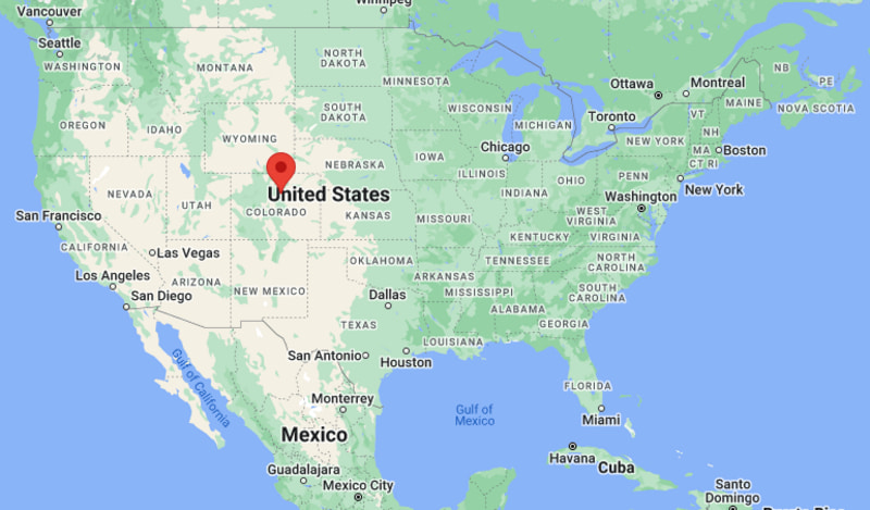
Where is Arvada Located? - Arvada is a city located in the Adams County of Colorado, United States. Arvada lies between 39.8039 Degrees North latitudes and -105.086 Degrees West longitudes.
Location Map of Arvada, Colorado
Arvada Map, Colorado, USA
Where is Arvada?: The Google Map showing the location of Arvada in the U.S. state of Colorado.
Where is Arvada Located?
Arvada is a city located in the Jefferson County of Colorado, United States. Arvada lies at approximately 39.8039 Degrees North latitude and -105.086 Degrees West longitude. According to the 2020 U.S. Census, the population of Arvada city is 124,402 people and the city has a total area of 39.461 sq mi. The city has numerous parks and recreational facilities.
Transportation and Connectivity in Arvada, Colorado
Nearest Airport
Rocky Mountain Metropolitan Airport
IATA Code
BJC
Major Airport
Denver International Airport (DEN)
Major Highways
Interstate 70, State Highway 72, State Highway 93
Rail Service
RTD G Line Commuter Rail
Public Transit
RTD Bus and Rail Services
Arvada is one of the largest cities in Colorado and part of the Denver-Aurora-Lakewood metropolitan area.
The RTD G Line provides direct commuter rail service between Arvada and downtown Denver.
The city offers convenient access to both the Rocky Mountains and urban amenities.
Retail, healthcare, technology, education and professional services support the local economy.
Arvada combines historic neighborhoods with modern residential and commercial development.
Key Landmarks and Places to Visit in Arvada, Colorado
Landmark Name
Type
Olde Town Arvada
Historic District
Arvada Center for the Arts and Humanities
Arts and Cultural Venue
Two Ponds National Wildlife Refuge
Nature Preserve
Majestic View Nature Center
Nature Center
Ralston Creek Trail
Recreation Trail
Van Bibber Open Space
Outdoor Recreation Area
West Woods Golf Club
Golf Course
Johnny Roberts Memorial Park
Community Park
Apex Center
Recreation Facility
Colorado Railroad Museum
Nearby Museum
Colleges and Universities Near Arvada, Colorado
Institution Name
Type
Distance
Notable For
Red Rocks Community College
Community College
8 mi
Career and transfer programs
Colorado School of Mines
Public University
8 mi
Engineering and earth sciences
University of Colorado Denver
Public University
12 mi
Research and professional studies
Metropolitan State University of Denver
Public University
12 mi
Business and liberal arts
University of Colorado Boulder
Public University
23 mi
Research and innovation
Waterbodies in and Near Arvada, Colorado
Ralston Creek, Clear Creek, Standley Lake, Tucker Lake, Little Dry Creek, Leyden Creek, Sloan's Lake, Bear Creek, South Platte River, Chatfield Reservoir
Golf Courses in and Near Arvada, Colorado
West Woods Golf Club, Lake Arbor Golf Club, Indian Tree Golf Club, Applewood Golf Course, Walnut Creek Golf Preserve, Legacy Ridge Golf Course, Fossil Trace Golf Club, CommonGround Golf Course
Arvada, Colorado - Key Historical Facts
Arvada was founded during the Colorado Gold Rush and became the site of one of the state's earliest gold discoveries in 1850.
The community developed as an agricultural center supplying crops and livestock to nearby mining towns.
Railroad expansion helped connect Arvada to Denver and encouraged population growth.
The city was officially incorporated in 1904 and gradually evolved into a major suburban community.
Post-World War II growth transformed Arvada into one of Colorado's largest residential cities.
Today, Arvada is known for its historic downtown, parks, cultural attractions and strong quality of life.