Where is Commerce City Located? - Commerce City is a city located in the Adams County of Colorado, United States. Commerce City lies between 41.7064 Degrees North latitudes and 72.6596 Degrees West longitudes.
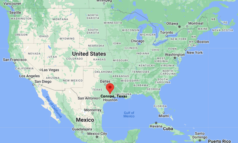
Location Map of Conroe, Texas
Commerce City Map, Colorado, USA
Where is Commerce City?: The Google Map showing the location of Commerce City in the U.S. state of Colorado.
Where is Commerce City Located?
Commerce City is a city located in the Adams County of Colorado, United States. Commerce City lies between 41.7064 Degrees North latitudes and 72.6596 Degrees West longitudes. According to 2020 U.S.census, the population of Commerce City city is 62418 people and the city has a total area of 35.73 sq mi. The city has numerous parks and recreational facilities.
Commerce City, Colorado Climate and Weather Overview
Month
Avg High (°F)
Avg Low (°F)
Avg Rainfall (in)
January
46
18
0.5
April
63
34
1.7
July
90
59
2.1
October
66
36
1.1
Annual
66
37
15.5
Climate Attribute
Details
Climate Classification (Köppen)
Cold Semi-Arid (BSk)
Annual Rainfall
About 15.5 in
Annual Sunshine Days
Approximately 245 days
Hurricane/Tornado Risk
No hurricane risk; low tornado risk
Snowfall
About 57 in annually
Driving Distances from Commerce City, Colorado
City
State
Distance (mi)
Approx. Drive Time
Denver
Colorado
6
15 min
Northglenn
Colorado
7
15 min
Thornton
Colorado
8
15 min
Aurora
Colorado
9
20 min
Brighton
Colorado
12
20 min
Westminster
Colorado
13
25 min
Boulder
Colorado
31
40 min
Golden
Colorado
20
30 min
Colorado Springs
Colorado
76
1 hr 20 min
Fort Collins
Colorado
63
1 hr
Transportation and Connectivity in Commerce City, Colorado
Feature
Details
Airport Name
Denver International Airport
IATA Code
DEN
Port
None (landlocked)
Major Highways
Interstate 70, Interstate 76, Interstate 270, U.S. Highway 85, Colorado State Highway 2
Train/Amtrak Service
No Amtrak station; nearby RTD commuter rail and light rail services in Denver
Local Bus/Transit Service
Regional Transportation District (RTD) bus services
Interstate 70 - Major east-west interstate connecting Commerce City with Denver, the Rocky Mountains, and Kansas.
Interstate 76 - Links the city with northeastern Colorado, Nebraska, and Interstate 80.
Interstate 270 - Provides quick access between Interstate 70 and Interstate 25 across the Denver metropolitan area.
U.S. Highway 85 - Important north-south corridor serving commercial, industrial, and residential areas.
Colorado State Highway 2 (Vasquez Boulevard) - Connects Commerce City with central Denver and surrounding communities.
Key Landmarks and Places to Visit in Commerce City, Colorado
Landmark Name
Type
Rocky Mountain Arsenal National Wildlife Refuge
National Wildlife Refuge
Dick's Sporting Goods Park
Soccer Stadium
Pioneer Park
Community Park
Buffalo Run Golf Course
Municipal Golf Course
Second Creek Open Space
Nature Preserve
Commerce City Historical Society Museum
Local History Museum
Barr Lake State Park
State Park
Riverdale Regional Park
Regional Park
South Platte River Trail
Multi-Use Trail
Denver Museum of Nature & Science
Museum
Colleges and Universities in Commerce City, Colorado
Institution Name
Type
Level
Notable For
Front Range Community College
Public
Community College
Career training and university transfer programs
Community College of Denver
Public
Community College
Healthcare, business, and technical education
University of Colorado Denver
Public
University
Research, engineering, and health sciences
Metropolitan State University of Denver
Public
University
Business, aviation, and education
Regis University
Private
University
Liberal arts, nursing, and business
Waterbodies in Commerce City, Colorado
South Platte River, Barr Lake, First Creek, Second Creek, Third Creek, Clear Creek, Sand Creek, Rocky Mountain Lake, Stanley Lake, Cherry Creek Reservoir
Golf Courses in Commerce City, Colorado
Buffalo Run Golf Course, Riverdale Golf Courses, Green Valley Ranch Golf Club, CommonGround Golf Course, Todd Creek Golf Club, Thorncreek Golf Course, Legacy Ridge Golf Course, The Ranch Country Club
Commerce City, Colorado - Key Historical Facts
Commerce City was incorporated in 1962 through the consolidation of several communities in northeastern Denver's metropolitan area.
The city developed as an important industrial center because of its proximity to rail lines, highways, and energy facilities.
Agriculture, oil refining, manufacturing, and transportation have played major roles in the city's economic development.
The establishment of the Rocky Mountain Arsenal National Wildlife Refuge transformed former military land into one of the region's largest protected natural areas.
The opening of Dick's Sporting Goods Park in 2007 strengthened Commerce City's reputation as a destination for professional soccer and community events.
Today, Commerce City continues to grow with expanding residential neighborhoods, industrial development, outdoor recreation, and convenient access to downtown Denver and Denver International Airport.