Map of Green County - Green County is a county located in the U.S. state of Wisconsin. Green County Map showing cities, highways, important places and water bodies. Get Where is Green County located in the map, major cities in Green county, population, areas, and places of interest.
Map of Green County, Wisconsin
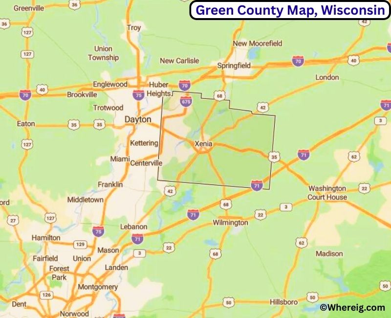
About Green County Map, Alabama: The map showing the county boundary, county seat, major cities, highways, water bodies and neighbouring counties.
Most Viewed Links
Map of Green County, Wisconsin
Facts about Green County, Wisconsin
| Country | United States |
| State | Wisconsin |
| Region | South-Central Wisconsin |
| County Seat | Monroe |
| Named After | General Nathanael Greene |
| Established | 1839 |
| Organized | 1844 |
| Coordinates | 42.68° N, 89.60° W |
| Total Area | ~585 sq mi |
| Land Area | ~584 sq mi |
| Water Area | ~1 sq mi |
| Population (2020) | 37,093 |
| Population Rank | Mid-sized county in Wisconsin |
| Largest City | Monroe |
| Main Industries | Agriculture, Cheese Production, Manufacturing |
| Major Highways | U.S. Highway 14, State Highway 11, State Highway 81 |
| Time Zone | Central Time (UTC−06:00) |
| Known For | Swiss heritage, cheese production, rolling farmland |
| Official Website | https://www.greencountywi.org |
Top Attractions in Green County, Wisconsin
- New Glarus Brewing Company – Brewery tours and tasting.
- Swiss Historical Village – Historic Swiss heritage site.
- Green County Courthouse – Historic courthouse.
- Village of New Glarus – Shops and Swiss-style architecture.
- Richland Center Opera House – Historic performance venue.
- Lake Alvin Park – Trails and picnic areas.
- Evergreen Village Park – Recreation and walking paths.
- Local Cheese Factories – Tours and tastings.
- Rural Scenic Roadways – Countryside drives.
- Green County Historical Museum – Local history exhibits.
List of Cities and Towns in Green County, Wisconsin
Brodhead, Monroe, Albany, Browntown, Monticello, New Glarus, Albany (Town), Adams, Albany (Town), Brooklyn (portion), Clarno, Decatur, Exeter, Jefferson, Jordan, Lafayette, Lima, Monroe (Town), Mount Pleasant, New Glarus (Town), Perrinton, Porter, Spring Grove, Sylvester
Map of Wisconsin Counties
- Adams County Map, WI
- Ashland County Map, WI
- Barron County Map, WI
- Bayfield County Map, WI
- Brown County Map, WI
- Buffalo County Map, WI
- Burnett County Map, WI
- Calumet County Map, WI
- Chippewa County Map, WI
- Clark County Map, WI
- Columbia County Map, WI
- Crawford County Map, WI
- Dane County Map, WI
- Dodge County Map, WI
- Door County Map, WI
- Douglas County Map, WI
- Dunn County Map, WI
- Eau Claire County Map, WI
- Florence County Map, WI
- Fond Du Lac County Map, WI
- Forest County Map, WI
- Grant County Map, WI
- Green County Map, WI
- Green Lake County Map, WI
- Iowa County Map, WI
- Iron County Map, WI
- Jackson County Map, WI
- Jefferson County Map, WI
- Juneau County Map, WI
- Kenosha County Map, WI
- Kewaunee County Map, WI
- La Crosse County Map, WI
- Lafayette County Map, WI
- Langlade County Map, WI
- Lincoln County Map, WI
- Manitowoc County Map, WI
- Marathon County Map, WI
- Marinette County Map, WI
- Marquette County Map, WI
- Menominee County Map, WI
- Milwaukee County Map, WI
- Monroe County Map, WI
- Oconto County Map, WI
- Oneida County Map, WI
- Outagamie County Map, WI
- Ozaukee County Map, WI
- Pepin County Map, WI
- Pierce County Map, WI
- Polk County Map, WI
- Portage County Map, WI
- Price County Map, WI
- Racine County Map, WI
- Richland County Map, WI
- Rock County Map, WI
- Rusk County Map, WI
- Sauk County Map, WI
- Sawyer County Map, WI
- Shawano County Map, WI
- Sheboygan County Map, WI
- St Croix County Map, WI
- Taylor County Map, WI
- Trempealeau County Map, WI
- Vernon County Map, WI
- Vilas County Map, WI
- Walworth County Map, WI
- Washburn County Map, WI
- Washington County Map, WI
- Waukesha County Map, WI
- Waupaca County Map, WI
- Waushara County Map, WI
- Winnebago County Map, WI
- Wood County Map, WI
US Counties Map by State
- Alabama Counties
- Alaska boroughs
- Arizona Counties
- Arkansas Counties
- California County Map
- Colorado Counties
- Connecticut Counties
- Delaware Counties
- Florida County Map
- Georgia County Map
- Hawaii Counties
- Idaho Counties
- Illinois Counties
- Indiana Counties
- Iowa Counties
- Kansas Counties
- Kentucky Counties
- Louisiana Counties
- Maine Counties
- Maryland Counties
- Massachusetts Counties
- Michigan County Map
- Minnesota Counties
- Mississippi Counties
- Missouri Counties
- Montana Counties
- Nebraska Counties
- Nevada Counties
- New York Counties
- New Hampshire Counties
- New Jersey Counties
- New Mexico Counties
- North Carolina Counties
- North Dakota Counties
- Ohio County Map
- Oklahoma Counties
- Oregon Counties
- Pennsylvania Counties
- Rhode Island Counties
- South Carolina Counties
- South Dakota Counties
- Map of Tennessee
- Texas County Map
- Utah Counties
- Vermont Counties
- Virginia Counties
- Washington Counties
- West Virginia Counties
- Wisconsin Counties
- Wyoming Counties