
Jacksonville is a coastal plain city in eastern North Carolina and the county seat of Onslow County. It is about 50 miles north of Wilmington and 40 miles northeast of New Bern. The city is known for its strong military connection, Marine Corps Base Camp Lejeune, nearby beaches, and access to the rivers and coastal communities of North Carolina.
Location Map of Jacksonville, Onslow County, North Carolina
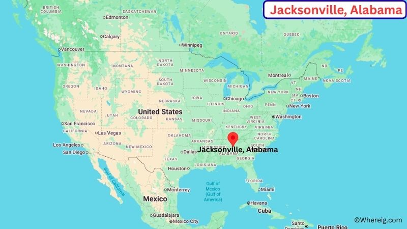
About Map: The map shows the location of Jacksonville in Onslow County, in the U.S. state of North Carolina.
Jacksonville Map, North Carolina
About Jacksonville Map: The Google Map highlights the location of Jacksonville in Onslow County, North Carolina. Use the zoom, satellite, and street-view options to explore the city's neighborhoods, roads, and nearby places.
Where is Jacksonville Located?
Jacksonville is a city located in Onslow County, North Carolina, the United States. It lies in eastern North Carolina, about 50 miles north of Wilmington and roughly 40 miles northeast of New Bern. Jacksonville serves as the county seat of Onslow County and is part of the state's coastal plain region. The city is located at approximately 34.754° North latitude and 77.430° West longitude. The 2020 Census recorded 72,723 residents. Jacksonville covers about 45.21 square miles, or 117.09 square kilometers. Its location near the New River and the Atlantic coast has shaped the city's history, economy, and transportation network. The area is closely connected to Marine Corps Base Camp Lejeune, Marine Corps Air Station New River, and the military community that surrounds them. One of the region's best-known attractions is Hammocks Beach State Park, which offers access to barrier-island beaches, waterways, and coastal wildlife. Nearby Topsail Island and the beaches of Onslow County provide additional recreation. A unique feature of Jacksonville is its strong connection to the U.S. Marine Corps, with military activity playing a major role in the local economy and community. U.S. Route 17 and North Carolina Highway 24 provide major connections to Wilmington, New Bern, Morehead City, and other coastal communities.
Most Viewed US Maps
| USA Sttae Map | USA Region Map | USA Road Map |
| USA County Map | Where is USA in World Map? | US ZIP Code Map |
| USA Time Zones Map | US State and Capitals Map | USA Physical Map |
Find 4,400+ U.S. Cities by State - Explore Their Locations and Get Detailed Information
Jacksonville City Facts
| City | Jacksonville |
| State | North Carolina |
| County | Onslow County |
| Country | United States |
| Region | Eastern North Carolina / Coastal Plain |
| Incorporated | 1849 |
| Founded | 1842 |
| Total Area | 45.21 sq mi (117.09 sq km) |
| Land Area | 44.85 sq mi (116.16 sq km) |
| Water Area | 0.36 sq mi (0.93 sq km) |
| Elevation | About 36 ft (11 m) |
| Population (2023 estimate) | About 73,000 |
| Population (2020 Census) | 72,723 |
| Population Density | About 1,622 people per sq mi |
| Time Zone | Eastern Time (ET) |
| ZIP Codes | 28540, 28541, 28543, 28544, 28546, 28547, 28555 |
| Area Code | 910 |
| Major Highways | U.S. Highway 17, North Carolina Highway 24, U.S. Highway 258 |
| Public Transit | Jacksonville Transit |
| Major Attractions | Marine Corps Base Camp Lejeune, Lejeune Memorial Gardens, Hammocks Beach State Park, Wilson Bay |
| Official Website | https://www.jacksonvillenc.gov/ |
Distance from Jacksonville, NC to Nearby Cities
- Camp Lejeune, NC – 10 miles (16 km)
- Swansboro, NC – 15 miles (24 km)
- Richlands, NC – 15 miles (24 km)
- Holly Ridge, NC – 20 miles (32 km)
- Hubert, NC – 15 miles (24 km)
- New Bern, NC – 40 miles (64 km)
- Morehead City, NC – 45 miles (72 km)
- Beaufort, NC – 50 miles (80 km)
- Kinston, NC – 45 miles (72 km)
- Emerald Isle, NC – 35 miles (56 km)
- Wilmington, NC – 50 miles (80 km)
- Washington, NC – 70 miles (113 km)
- Greenville, NC – 75 miles (121 km)
- Goldsboro, NC – 70 miles (113 km)
- Fayetteville, NC – 100 miles (161 km)
Top Attractions in Jacksonville
- Lejeune Memorial Gardens – A memorial complex honoring Marines and sailors connected with Camp Lejeune and other military service.
- Marine Corps Base Camp Lejeune – A major U.S. Marine Corps installation that has played a central role in Jacksonville's development and identity.
- Hammocks Beach State Park – A coastal state park near Swansboro with ferry access, barrier-island beaches, hiking trails, paddling, and wildlife viewing.
- Lejeune Memorial Gardens Beirut Memorial – A major memorial honoring the Marines killed in the 1983 Beirut barracks bombing.
- Montford Point Marine Museum – A museum documenting the history of the first African American Marines and the former Montford Point training area.
- Wilson Bay Park – A waterfront recreation area along the New River with walking paths, open space, and views of the surrounding waterway.
- Jacksonville Riverwalk – A local waterfront area along the New River used for walking, community events, and scenic views.
- Onslow Beach – A nearby Atlantic beach associated with Camp Lejeune and the coastal recreation of the Jacksonville area.
Airports Near Jacksonville
- Albert J. Ellis Airport (OAJ) – 15 miles
- Coastal Carolina Regional Airport (EWN) – 45 miles
- Wilmington International Airport (ILM) – 55 miles
- Pitt-Greenville Airport (PGV) – 90 miles
- Fayetteville Regional Airport (FAY) – 100 miles
Sources:
Population and area data sourced from the United States Census Bureau (2020 Census). General city information referenced from the official Jacksonville city website and local government records.
North Carolina Maps and Info
- Where is Albemarle
- Where is Apex
- Where is Asheboro
- Where is Asheville
- Where is Belmont
- Where is Boone
- Where is Burlington
- Where is Carrboro
- Where is Cary
- Where is Chapel Hill
- Where is Clayton
- Where is Clemmons
- Where is Concord
- Where is Cornelius
- Where is Davidson
- Where is Eden
- Where is Elizabeth City
- Where is Fuquay-Varina
- Where is Garner
- Where is Gastonia
- Where is Goldsboro
- Where is Graham
- Where is Greenville
- Where is Harrisburg
- Where is Havelock
- Where is Hendersonville
- Where is Hickory
- Where is High Point
- Where is Holly Springs
- Where is Hope Mills
- Where is Huntersville
- Where is Indian Trail
- Where is Kannapolis
- Where is Kernersville
- Where is Kinston
- Where is Knightdale
- Where is Laurinburg
- Where is Leland
- Where is Lenoir
- Where is Lumberton
- Where is Matthews
- Where is Mebane
- Where is Mint Hill
- Where is Monroe
- Where is Mooresville
- Where is Morganton
- Where is Morrisville
- Where is Mount Holly
- Where is Murraysville
- Where is New Bern
- Where is Pinehurst
- Where is Piney Green
- Where is Reidsville
- Where is Roanoke Rapids
- Where is Rocky Mount
- Where is Salisbury
- Where is Sanford
- Where is Shelby
- Where is Southern Pines
- Where is Stallings
- Where is Statesville
- Where is Thomasville
- Where is Wake Forest
- Where is Waxhaw
- Where is Wilmington
- Where is Wilson
- Where is Winston-Salem