
Where is Blackhawk Located? - Blackhawk is a city located in the Meade County of South Dakota, United States. Blackhawk lies between 44.1511 Degrees North latitudes and -103.308 Degrees West longitudes.
Location Map of Bloomington, Minnesota
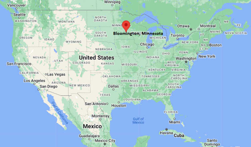
Blackhawk Map, South Dakota, USA
Where is Blackhawk?: The Google Map showing the location of Blackhawk in the U.S. state of South Dakota.
Where is Blackhawk Located?
Blackhawk is a census-designated place located in the Meade County of South Dakota, United States. Blackhawk lies between 44.1511 Degrees North latitude and -103.308 Degrees West longitude. According to the 2020 U.S. Census, the population of Blackhawk CDP is 3,026 people and the CDP has a total area of 4.738 sq mi. The CDP has numerous parks and recreational facilities.
Most Viewed US Maps
| USA Sttae Map | USA Region Map | USA Road Map |
| USA County Map | Where is USA in World Map? | US ZIP Code Map |
| USA Time Zones Map | US State and Capitals Map | USA Physical Map |
Find 4,400+ U.S. Cities by State - Explore Their Locations and Get Detailed Information
Blackhawk, South Dakota Quick Facts
| Fact | Details |
|---|---|
| Community | Blackhawk (Census-Designated Place) |
| County | Meade County |
| State | South Dakota |
| State Capital | Pierre |
| Country | United States |
| US Region | Midwest |
| Latitude | 44.1511 N |
| Longitude | -103.308 W |
| Elevation | 3,360 ft (1,024 m) |
| Land Area | 5.20 sq mi |
| Water Area | 0.02 sq mi |
| Total Area | 4.738 sq mi |
| Population (Census 2020) | 3,828 |
| Population Density | Approximately 736 per sq mi |
| ZIP Code | 57718 |
| Area Code | 605 |
| Time Zone Standard | Mountain Standard Time (MST, UTC-7) |
| Time Zone Daylight | Mountain Daylight Time (MDT, UTC-6) |
| Currency | United States Dollar (USD) |
| FIPS Code | 46-05020 |
| Congressional District | South Dakota At-Large Congressional District |
Nearby Cities and Communities to Blackhawk, South Dakota
- Rapid City, South Dakota - 8 mi South
- Box Elder, South Dakota - 12 mi East
- Summerset, South Dakota - 3 mi West
- Sturgis, South Dakota - 22 mi Northwest
- Piedmont, South Dakota - 6 mi Northwest
- Ellsworth AFB, South Dakota - 14 mi East
- Spearfish, South Dakota - 44 mi Northwest
- Deadwood, South Dakota - 37 mi Northwest
- Keystone, South Dakota - 30 mi Southwest
- Hill City, South Dakota - 34 mi Southwest
Blackhawk, South Dakota Climate and Weather Overview
| Month | Avg High (°F) | Avg Low (°F) | Avg Precipitation (in) |
|---|---|---|---|
| January | 37 | 15 | 0.4 |
| April | 58 | 32 | 1.7 |
| July | 87 | 60 | 2.2 |
| October | 63 | 35 | 1.0 |
| Annual | 61 | 35 | 18.2 |
| Climate Attribute | Details |
|---|---|
| Climate Classification | Cold Semi-Arid (Köppen BSk) |
| Annual Precipitation | Approximately 18.2 inches |
| Annual Sunshine Days | About 226 days |
| Severe Weather Risk | Moderate - Winter snowstorms, thunderstorms, hail and occasional wildfires |
| Annual Snowfall | Approximately 38 inches |
Driving Distances from Blackhawk, South Dakota
| City | State | Distance (mi) | Approx. Drive Time |
|---|---|---|---|
| Summerset | South Dakota | 3 | 5 min |
| Piedmont | South Dakota | 6 | 10 min |
| Rapid City | South Dakota | 8 | 12 min |
| Box Elder | South Dakota | 12 | 15 min |
| Ellsworth AFB | South Dakota | 14 | 18 min |
| Sturgis | South Dakota | 22 | 25 min |
| Keystone | South Dakota | 30 | 35 min |
| Hill City | South Dakota | 34 | 40 min |
| Deadwood | South Dakota | 37 | 45 min |
| Spearfish | South Dakota | 44 | 50 min |
Transportation and Connectivity in Blackhawk, South Dakota
| Transportation | Details |
|---|---|
| Nearest Airport | Rapid City Regional Airport |
| IATA Code | RAP |
| Nearest Military Airport | Ellsworth Air Force Base |
| Major Highways | Interstate 90, South Dakota Highway 34, Nemo Road |
| Rail Service | No passenger rail; freight rail available in Rapid City |
| Local Transportation | Personal vehicles, taxi and rideshare services from Rapid City |
- Interstate 90 provides convenient access to Rapid City, Sturgis, Spearfish and eastern South Dakota.
- South Dakota Highway 34 connects Blackhawk with surrounding communities and recreational areas in the Black Hills.
- Rapid City Regional Airport, about 18 miles southeast, offers commercial flights to major U.S. destinations.
- Blackhawk's location near Rapid City gives residents quick access to regional transportation, healthcare, shopping and business services.
Key Landmarks and Places to Visit in Blackhawk, South Dakota
| Landmark | Type |
|---|---|
| Black Hills National Forest | National Forest |
| Bear Country USA | Wildlife Park |
| Dinosaur Park | Hilltop Park |
| Reptile Gardens | Zoo and Botanical Garden |
| Storybook Island | Family Park |
| The Journey Museum & Learning Center | Museum |
| Mount Rushmore National Memorial | National Memorial |
| Custer State Park | State Park |
| Badlands National Park | National Park |
| Sturgis Motorcycle Museum & Hall of Fame | Museum |
Colleges and Universities in Blackhawk, South Dakota
| Institution | Type | Level | Notable For |
|---|---|---|---|
| South Dakota Mines | Public | Research University | Engineering, geology and applied sciences |
| Black Hills State University | Public | University | Education, business and natural sciences |
| Western Dakota Technical College | Public | Technical College | Skilled trades and technical education |
| National American University - Rapid City | Private | University | Business and healthcare programs |
| University of South Dakota | Public | Research University | Law, medicine and business |
| South Dakota State University | Public | Research University | Agriculture, engineering and veterinary sciences |
Waterbodies in Blackhawk, South Dakota
Rapid Creek, Boxelder Creek, Pactola Reservoir, Sheridan Lake, Deerfield Reservoir, Canyon Lake, Angostura Reservoir, Belle Fourche River, Spring Creek, Sheridan Lake Creek.
Golf Courses in Blackhawk, South Dakota
Elks Golf Club, Hart Ranch Golf Club, Red Rock Golf Club, Arrowhead Country Club, Boulder Canyon Golf Club, Meadowbrook Golf Course, Southern Hills Golf Course, Rocky Knolls Golf Course.
Blackhawk, South Dakota - Key Historical Facts
- Blackhawk developed during the twentieth century as a small residential community northwest of Rapid City, benefiting from the region's transportation network and growing population.
- The community's proximity to the Black Hills National Forest made it an attractive location for residents seeking easy access to outdoor recreation and scenic landscapes.
- Nearby mining, ranching and tourism industries contributed to the area's economic development throughout western South Dakota.
- Growth accelerated as Rapid City expanded, with Blackhawk becoming part of the metropolitan area's suburban residential corridor.
- The community also benefits from its location near Ellsworth Air Force Base, an important employer in the region.
- Today, Blackhawk is known for its quiet neighborhoods, convenient access to Rapid City, the Black Hills and many of South Dakota's best-known natural attractions.
References
- Meade County Government
- U.S. Census Bureau
- Black Hills & Badlands Tourism Association
- Black Hills National Forest
More South Dakota Maps & Info
- Where is Aberdeen
- Where is Belle Fourche
- Where is Beresford
- Where is Blackhawk
- Where is Box Elder
- Where is Brandon
- Where is Brookings
- Where is Canton
- Where is Chamberlain
- Where is Colonial Pine Hills
- Where is Crooks
- Where is Custer
- Where is Dell Rapids
- Where is Elk Point
- Where is Flandreau
- Where is Fort Pierre
- Where is Harrisburg
- Where is Hartford
- Where is Hot Springs
- Where is Huron
- Where is Lead
- Where is Lennox
- Where is Milbank
- Where is Mitchell
- Where is Mobridge
- Where is North Eagle Butte
- Where is North Sioux City
- Where is North Spearfish
- Where is Parkston
- Where is Pierre
- Where is Pine Ridge
- Where is Rapid City
- Where is Rapid Valley
- Where is Redfield
- Where is Rosebud
- Where is Sioux Falls
- Where is Sisseton
- Where is Spearfish
- Where is Sturgis
- Where is Summerset
- Where is Tea
- Where is Vermillion
- Where is Volga
- Where is Wagner
- Where is Watertown
- Where is Webster
- Where is Winner
- Where is Yankton