Where is Conroe Located? - Conroe is a city located in the Montgomery County of Texas, United States. Conroe lies between 43.8260841 Degrees North latitudes and 96.7061609 Degrees West longitudes.
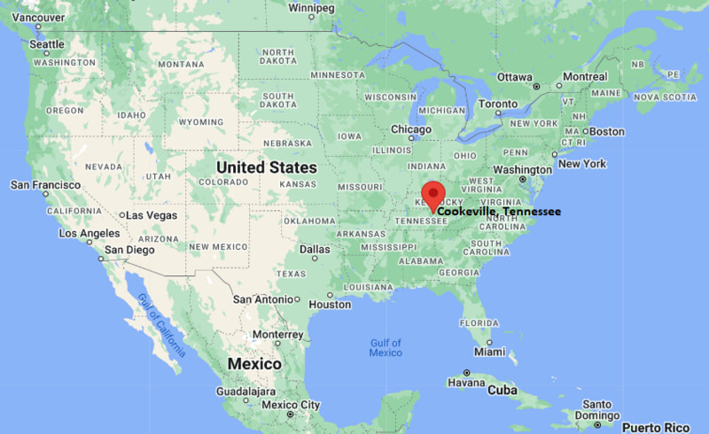
Location Map of Cookeville, Tennessee
Conroe Map, Texas, USA
Where is Conroe?: The Google Map showing the location of Conroe in the U.S. state of Texas.
Where is Conroe Located?
Conroe is a city located in the Montgomery County of Texas, United States. Conroe lies between 43.8260841 Degrees North latitudes and 96.7061609 Degrees West longitudes. According to 2020 U.S.census, the population of Conroe city is 89956 people and the city has a total area of 71.95 sq mi. The city has numerous parks and recreational facilities.
Interstate 45, U.S. Highway 75, State Highway 105, State Highway 242
Train/Amtrak Service
Nearest Amtrak station in Houston
Local Bus/Transit Service
Conroe Connection Transit and regional METRO links
Interstate 45 - Main north-south freeway connecting Conroe with Houston and Dallas.
U.S. Highway 75 - Historic route running parallel to I-45 through parts of the region.
State Highway 105 - Key east-west route linking Conroe with Montgomery and Cleveland areas.
State Highway 242 - Important connector serving residential and commercial zones in southern Conroe.
Loop 336 - Local loop road providing access around central Conroe districts.
Key Landmarks and Places to Visit in Conroe, Texas
Landmark Name
Type
Lake Conroe
Recreation Lake
Crighton Theatre
Historic Theatre
Heritage Museum of Montgomery County
History Museum
Downtown Conroe Historic District
Historic District
7 Acre Wood
Family Attraction
Carl Barton Jr. Park
City Park
Candy Cane Park
Community Park
W.G. Jones State Forest
State Forest
Lone Star Monument and Historical Flag Park
Monument Park
McDade Park
Neighborhood Park
Colleges and Universities in Conroe, Texas
Institution Name
Type
Level
Notable For
Lone Star College–Montgomery
Public
Community College
Transfer programs, healthcare, technical education
Sam Houston State University
Public
University
Criminal justice, education, business, research
University of Houston
Public
University
Engineering, business, health sciences
Texas A&M University
Public
University
Agriculture, engineering, research
Rice University
Private
University
Elite research, science, and liberal arts
Waterbodies in Conroe, Texas
Lake Conroe, West Fork San Jacinto River, Lake Creek, Caney Creek, Spring Creek, Panther Branch, Willis Creek, Rocky Creek
Golf Courses in Conroe, Texas
Conroe Country Club, River Plantation Golf Club, The Golf Club at La Torretta, April Sound Country Club, High Meadow Ranch Golf Club, The Woodlands Country Club, Oakhurst Golf Club, Bender’s Landing Golf Club
Conroe, Texas - Key Historical Facts
Conroe developed in the late 1800s around the lumber and sawmill industry.
The city was named after Isaac Conroe, a Union cavalry officer.
Oil discoveries in the early 1900s boosted population and industrial growth.
The creation of Lake Conroe in the 1970s transformed the region into a major recreation hub.
Interstate 45 strengthened Conroe’s role as a commuter city connected to Houston.
Today, Conroe is one of the fastest-growing cities in Texas with strong healthcare, energy, and residential development.