Where is Cookeville Located? - Cookeville is a city located in the Putnam County of Tennessee, United States. Cookeville lies between 39.9470567 Degrees North latitudes and 75.2921301 Degrees West longitudes.
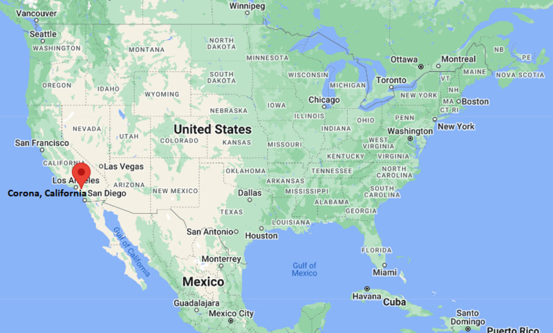
Location Map of Corona, California
Cookeville Map, Tennessee, USA
Where is Cookeville?: The Google Map showing the location of Cookeville in the U.S. state of Tennessee.
Where is Cookeville Located?
Cookeville is a city located in the Putnam County of Tennessee, United States. Cookeville lies between 39.9470567 Degrees North latitudes and 75.2921301 Degrees West longitudes. According to 2020 U.S.census, the population of Cookeville city is 34842 people and the city has a total area of 35.38 sq mi. The city has numerous parks and recreational facilities.
Dogwood Park, Cummins Falls State Park, Cookeville Depot Museum
Official Website
https://www.cookeville-tn.gov
Nearby Cities to Cookeville, Tennessee
Sparta, Tennessee - 25 mi Southwest
Livingston, Tennessee - 24 mi North
Crossville, Tennessee - 45 mi East
McMinnville, Tennessee - 30 mi Southeast
Smithville, Tennessee - 22 mi West
Lebanon, Tennessee - 55 mi West
Nashville, Tennessee - 80 mi West
Clinton, Tennessee - 95 mi Northeast
Harriman, Tennessee - 60 mi East
Manchester, Tennessee - 50 mi South
Cookeville, Tennessee Climate and Weather Overview
Month
Avg High (°F)
Avg Low (°F)
Avg Rainfall (in)
January
46
28
4.5
April
70
46
4.6
July
88
67
4.2
October
72
49
3.5
Annual
68
47
54.0
Climate Summary
Climate Attribute
Details
Climate Classification (Köppen)
Humid Subtropical (Cfa)
Annual Rainfall
About 54 inches
Summer Conditions
Hot and humid
Winter Conditions
Mild to cool with occasional frost
Severe Weather Risk
Moderate tornado risk typical of Tennessee Valley
Driving Distances from Cookeville, Tennessee
City
State
Distance (mi)
Approx. Drive Time
Nashville
Tennessee
80
1 hr 20 min
Lebanon
Tennessee
55
55 min
Knoxville
Tennessee
100
1 hr 40 min
Chattanooga
Tennessee
100
1 hr 45 min
Crossville
Tennessee
45
50 min
Bowling Green
Kentucky
110
2 hr
Atlanta
Georgia
250
4 hr
Huntsville
Alabama
170
3 hr
Louisville
Kentucky
200
3 hr 30 min
Chapel Hill
North Carolina
450
7 hr
Transportation and Connectivity in Cookeville, Tennessee
Feature
Details
Airport Name
Nashville International Airport
IATA Code
BNA
Port
Inland (nearest major river port in Nashville region)
Major Highways
Interstate 40, U.S. Route 70N, U.S. Route 111
Train/Amtrak Service
Nearest Amtrak service in Nashville
Local Transit
Putnam County public transit and regional bus links
Interstate 40 - Main east-west corridor connecting Cookeville with Nashville and Knoxville.
U.S. Route 70N - Key local highway running through central Cookeville.
U.S. Route 111 - Important north-south route linking surrounding Upper Cumberland region.
Jefferson Avenue - Major commercial corridor in downtown Cookeville.
North Washington Avenue - Primary urban street connecting residential and business districts.
Key Landmarks and Places to Visit in Cookeville, Tennessee
Landmark Name
Type
Cookeville Depot Museum
Railroad Museum
Dogwood Park
City Park
Cane Creek Park
Nature Park
Hidden Hollow Park
Recreation Park
Tennessee Tech University Arboretum
University Garden
Cookeville Performing Arts Center
Arts Venue
Cookeville History Museum
History Museum
West End Park
Community Park
Capshaw Park
Neighborhood Park
City Lake Natural Area
Nature Area
Colleges and Universities in Cookeville, Tennessee
Institution Name
Type
Level
Notable For
Tennessee Technological University
Public
University
Engineering, STEM, business, research
Vol State Community College (Cookeville Center)
Public
Community College
Associate degrees and workforce training
TCAT Livingston (regional access)
Public
Technical College
Career and technical education
Middle Tennessee State University (regional)
Public
University
Aviation, media, business
University of Tennessee Knoxville (regional)
Public
University
Research, agriculture, engineering
Waterbodies in Cookeville, Tennessee
Caney Fork River, Falling Water River, Center Hill Lake, City Lake, Cane Creek, Dry Valley Creek, Spring Creek, Little Creek, Big Indian Creek, Calfkiller River (regional)
Golf Courses in Cookeville, Tennessee
Golden Eagle Golf Club, Cookeville Golf Club, White Plains Golf Course, Willow Run Golf Club, Sparta Country Club (nearby), River Watch Golf Club (regional), Cumberland Cove Golf Course, Tennessee Tech Recreational Golf Facilities
Cookeville, Tennessee - Key Historical Facts
Cookeville was founded in 1854 and named after Richard Fielding Cooke, an early settler and state senator.
The arrival of the railroad in the late 1800s helped the city grow as a regional trade center.
Tennessee Technological University, founded in 1915, became a major driver of growth and education in the city.
U.S. Highway 70N and later Interstate 40 improved transportation and economic development.
The city is known as the “Hub of the Upper Cumberland” due to its central regional importance.
Today, Cookeville is a micropolitan hub focused on education, healthcare, manufacturing, and retail.