Where is Bartlett Located? - Bartlett is a city located in the Shelby County of Tennessee, United States. Bartlett lies between 35.20453 Degrees North latitudes and -89.874 Degrees West longitudes.
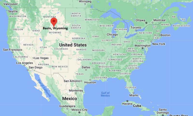
Location Map of Basin, Wyoming
Bartlett Map, Tennessee, USA
Where is Bartlett?: The Google Map showing the location of Bartlett in the U.S. state of Tennessee.
Where is Bartlett Located?
Bartlett is a city located in the Shelby County of Tennessee, United States. Bartlett lies at approximately 35.20453 Degrees North latitude and -89.874 Degrees West longitude. According to the 2020 U.S. Census, the population of Bartlett city is 57,786 people and the city has a total area of 32.293 sq mi. The city has numerous parks and recreational facilities.
Nearby Cities and Communities to Bartlett, Tennessee
Lakeland, Tennessee - 5 mi (8 km)
Arlington, Tennessee - 10 mi (16 km)
Cordova, Tennessee - 6 mi (10 km)
Germantown, Tennessee - 13 mi (21 km)
Collierville, Tennessee - 18 mi (29 km)
Millington, Tennessee - 14 mi (23 km)
Memphis, Tennessee - 15 mi (24 km)
Olive Branch, Mississippi - 20 mi (32 km)
Southaven, Mississippi - 24 mi (39 km)
West Memphis, Arkansas - 23 mi (37 km)
Bartlett, Tennessee Climate and Weather Overview
Month
Avg High
Avg Low
Avg Precipitation
January
49°F
31°F
4.7 in
April
73°F
51°F
5.2 in
July
91°F
72°F
4.1 in
October
75°F
52°F
3.2 in
Climate Attribute
Details
Climate Type
Humid Subtropical (Cfa)
Annual Rainfall
Approximately 54 inches
Annual Sunshine
Approximately 215 sunny days
Average Snowfall
3 inches annually
Main Weather Risks
Thunderstorms, Tornadoes and Flooding
Driving Distances from Bartlett, Tennessee
Destination
Distance
Distance (km)
Drive Time
Lakeland
5 mi
8 km
10 min
Cordova
6 mi
10 km
12 min
Arlington
10 mi
16 km
15 min
Germantown
13 mi
21 km
20 min
Millington
14 mi
23 km
20 min
Memphis
15 mi
24 km
25 min
Collierville
18 mi
29 km
30 min
Olive Branch
20 mi
32 km
30 min
West Memphis
23 mi
37 km
35 min
Jackson, Tennessee
82 mi
132 km
1 hr 20 min
Transportation and Connectivity in Bartlett, Tennessee
Nearest Airport
General DeWitt Spain Airport
IATA Code
M01
Major Airport
Memphis International Airport (MEM)
Major Highways
Interstate 40, Interstate 269, U.S. Route 64 and Tennessee State Route 385
Rail Service
Freight Rail Service Nearby
Public Transit
Memphis Area Transit Authority (MATA)
Bartlett is one of the largest suburbs in the Memphis metropolitan area.
The city is known for its highly rated schools, parks and residential neighborhoods.
Healthcare, logistics, retail and professional services are important parts of the local economy.
Bartlett offers convenient access to Memphis while maintaining a suburban atmosphere.
The community hosts several annual festivals, cultural events and outdoor recreation programs.
Key Landmarks and Places to Visit in Bartlett, Tennessee
Landmark
Type
Davies Manor Historic Site
Historic Museum
W.J. Freeman Park
Community Park
Bartlett Recreation Center
Recreation Facility
Appling Lake
Outdoor Recreation Area
Nesbit Park
Community Park
Bartlett Performing Arts and Conference Center
Entertainment Venue
Meeman-Shelby Forest State Park
State Park
Memphis Botanic Garden
Botanical Garden
Colleges and Universities Near Bartlett, Tennessee
Institution
Type
Distance
Notable For
Southwest Tennessee Community College
Community College
12 mi
Transfer and workforce programs
University of Memphis
Public University
13 mi
Research and professional education
Rhodes College
Private College
15 mi
Liberal arts education
Christian Brothers University
Private University
14 mi
Engineering and business programs
Baptist Health Sciences University
Private University
17 mi
Healthcare education
Waterbodies in and Near Bartlett, Tennessee
Appling Lake, Wolf River, Loosahatchie River, Mississippi River, Garner Lake, Lakeland Lake, Herb Parsons Lake, Poplar Tree Lake, Beaver Creek and Nonconnah Creek.
Golf Courses in and Near Bartlett, Tennessee
Quail Ridge Golf Course, Mirimichi Golf Course, Cordova Golf Club, Stonebridge Golf Club, Windyke Country Club, Galloway Golf Course, Forest Hill Golf Course and Colonial Country Club.
Bartlett, Tennessee - Key Historical Facts
Bartlett was founded in the nineteenth century along the Memphis and Ohio Railroad.
The city was named after Major Gabriel M. Bartlett, a local planter.
Agriculture dominated the area's economy during its early years.
Bartlett incorporated in 1866 and remained a small rural community for many decades.
Rapid suburban growth occurred after World War II as the Memphis metropolitan area expanded.
Today, Bartlett is one of the fastest-growing and most established suburbs in West Tennessee.