
Fort Bragg is a coastal city on California's North Coast and part of Mendocino County. It is about 160 miles north of San Francisco and sits along the Pacific Ocean. The city is known for Glass Beach, the Mendocino Coast Botanical Gardens, historic lumber-industry sites, and its location along the scenic California State Route 1.
Location Map of Fort Bragg, Mendocino County, California
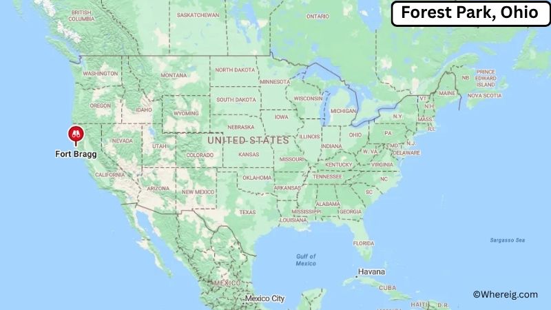
About Map: The map shows the location of Fort Bragg in Mendocino County, in the U.S. state of California.
Fort Bragg Map, California
About Fort Bragg Map: The Google Map highlights the location of Fort Bragg in Mendocino County, California. Use the zoom, satellite, and street-view options to explore the city's neighborhoods, roads, and nearby places.
Where is Fort Bragg Located?
Fort Bragg is a city located in Mendocino County, California, the United States. It lies on the Pacific coast of Northern California, about 160 miles north of San Francisco, 10 miles north of Mendocino, and roughly 125 miles west of Ukiah. Fort Bragg is positioned at approximately 39.445° North latitude and 123.805° West longitude. The city covers about 2.70 square miles, or 6.99 square kilometers, of land. The 2020 Census recorded 6,983 residents, while recent estimates place the population at about 7,000. Fort Bragg stands at an elevation of roughly 60 feet above sea level. The city was established around a military post in the 19th century and later became an important lumber and fishing center. Today, its coastal setting is its defining feature. Glass Beach, where colorful pieces of weathered glass remain from a former disposal site, is one of the city's best-known landmarks. Nearby attractions include the Mendocino Coast Botanical Gardens, Pomo Bluffs Park, MacKerricher State Park, and the scenic coastline of Mendocino County. California State Route 1 connects Fort Bragg with Mendocino to the south and coastal communities to the north.
Most Viewed US Maps
| USA Sttae Map | USA Region Map | USA Road Map |
| USA County Map | Where is USA in World Map? | US ZIP Code Map |
| USA Time Zones Map | US State and Capitals Map | USA Physical Map |
Find 4,400+ U.S. Cities by State - Explore Their Locations and Get Detailed Information
Fort Bragg City Facts
| City | Fort Bragg |
|---|---|
| State | California |
| County | Mendocino County |
| Country | United States |
| Region | North Coast, Northern California |
| Incorporated | August 5, 1889 |
| Founded | 1857 |
| Total Area | 2.70 sq mi (6.99 sq km) |
| Land Area | 2.70 sq mi (6.99 sq km) |
| Water Area | 0 sq mi (0 sq km) |
| Elevation | 60 ft (18 m) |
| Population (2023 estimate) | About 7,000 |
| Population (2020 Census) | 6,983 |
| Population Density | 2,586.3 people per sq mi |
| Time Zone | Pacific Time (PST/PDT) |
| ZIP Codes | 95437 |
| Area Code | 707 |
| Major Highways | California State Route 1 |
| Public Transit | Mendocino Transit Authority |
| Major Attractions | Glass Beach, Mendocino Coast Botanical Gardens, MacKerricher State Park, Pomo Bluffs Park, Skunk Train |
| Official Website | https://city.fortbragg.com/ |
Distance from Fort Bragg, CA to Nearby Cities
- Mendocino, CA – 10 miles (16 km)
- Little River, CA – 15 miles (24 km)
- Albion, CA – 20 miles (32 km)
- Point Arena, CA – 55 miles (89 km)
- Willits, CA – 35 miles (56 km)
- Ukiah, CA – 65 miles (105 km)
- Redwood Valley, CA – 60 miles (97 km)
- Hopland, CA – 75 miles (121 km)
- Healdsburg, CA – 105 miles (169 km)
- Santa Rosa, CA – 115 miles (185 km)
- Clearlake, CA – 105 miles (169 km)
- Gualala, CA – 80 miles (129 km)
- Sonoma, CA – 130 miles (209 km)
- Napa, CA – 140 miles (225 km)
- San Rafael, CA – 150 miles (241 km)
- San Francisco, CA – 160 miles (257 km)
- Sacramento, CA – 190 miles (306 km)
- Redding, CA – 220 miles (354 km)
Top Attractions in Fort Bragg
- Glass Beach – A famous coastal site known for colorful pieces of sea glass created from decades of weathering and wave action.
- Mendocino Coast Botanical Gardens – A 47-acre coastal garden featuring plant collections, forest trails, ponds, and dramatic ocean views.
- MacKerricher State Park – A coastal park north of Fort Bragg with beaches, dunes, wetlands, trails, and opportunities to see harbor seals.
- Pomo Bluffs Park – A scenic oceanfront park with walking paths and views of the Pacific coastline.
- Skunk Train – A historic railway offering scenic train rides through redwood forests between Fort Bragg and inland Mendocino County.
- Fort Bragg Coastal Trail – A scenic walking and cycling route along the Pacific shoreline with views of cliffs, beaches, and ocean habitats.
- Noyo Harbor – A working harbor at the mouth of the Noyo River with fishing boats, seafood businesses, charter trips, and waterfront views.
- Otis R. Johnson Wilderness – A forested natural area near downtown Fort Bragg with walking trails along the Noyo River.
- Point Cabrillo Light Station State Historic Park – A historic lighthouse site north of Mendocino with coastal trails, wildlife habitat, and maritime history.
- Mendocino Headlands State Park – A scenic coastal park surrounding Mendocino with cliffs, beaches, trails, and panoramic Pacific Ocean views.
Airports Near Fort Bragg
- Little River Airport (LLR) – 15 miles
- Ukiah Municipal Airport (UKI) – 65 miles
- Charles M. Schulz-Sonoma County Airport (STS) – 115 miles
- Arcata-Eureka Airport (ACV) – 135 miles
- San Francisco International Airport (SFO) – 170 miles
Sources:
Population and area data sourced from the United States Census Bureau (2020 Census). General city information referenced from the official City of Fort Bragg website and local government records.
California Related Links
- Where is Los Angeles
- Where is San Diego
- Where is San Francisco
- Where is Anaheim
- Where is Bakersfield
- Where is Chula Vista
- Where is Freemont
- Where is Fresno
- Where is Glendale
- Where is Irvine
- Where is Long Beach
- Where is Modesto
- Where is Oakland
- Where is Paradise
- Where is Riverside
- Where is Sacramento
- Where is San Bernardino
- Where is San Jose
- Where is Santa Ana
- Where is Stockton
- Where is Berkeley
- Where is Clovis
- Where is Corona
- Where is Elk Grove
- Where is Escondido
- Where is Fontana
- Where is Fremont
- Where is Fullerton
- Where is Garden Grove
- Where is Hayward
- Where is Huntington Beach
- Where is Lancaster
- Where is Moreno Valley
- Where is Oceanside
- Where is Ontario
- Where is Orange
- Where is Oxnard
- Where is Palmdale
- Where is Pasadena
- Where is Pomona
- Where is Rancho Cucamonga
- Where is Roseville
- Where is Salinas
- Where is Santa Clara
- Where is Santa Clarita
- Where is Santa Rosa
- Where is Sunnyvale
- Where is Thousand Oaks
- Where is Torrance
- Where is Vallejo
- Where is Victorville
- Where is Visalia