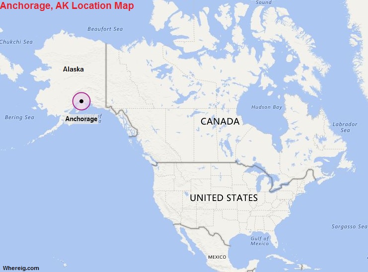
Anchorage is located in the south-central portion of Alaska at the terminus of the Cook Inlet on a peninsula formed by the Knik Arm to the north and the Turnagain Arm to the south. It is located 61.22 latitude and -149.90 longitud.
| City Facts | Anchorage |
|---|---|
| Country | United States |
| State | Alaska |
| Founded | 1914 (as a railroad construction port) |
| Nickname | The City of Lights and Flowers |
| Location | Southern part of the State |
| Latitude | 61.13′05″N |
| Longitude | 149.53′33″W |
| Total area | 5,079km2 ( 1,961 sq mi ) |
| Elevation | 102 ft (31 m) |
| Total Population | 2291,247 (2020 US Census) |
| Zip Codes | 99501 |
| Area code | 907 |
| Time Zone | Alaska Standard Time (AKST, UTC−9) / Alaska Daylight Time (AKDT, UTC−8) |
| Nearby Cities | Soldotna, Wasilla, Home, Fairbanks |
| Major Tourists' Attraction | Chugach State Park, Hilltop Ski Area, Alaska Aviation Heritage Museum, Oscar Anderson House Museum |
| Notable Features | Chugach Mountains, Cook Inlet, proximity to Denali National Park |
| Nearest airport | Ted Stevens Anchorage International Airport (about 6 miles) |
US Cities Location
- Where is Akron
- Where is Anaheim
- Where is Anchorage
- Where is Arlington
- Where is Aurora
- Where is Baltimore
- Where is Baton Rouge
- Where is Birmingham
- Where is Boise City
- Where is Boston
- Where is Buffalo
- Where is Chandler
- Where is Charlotte
- Where is Chesapeake
- Where is Chula Vista
- Where is Cincinnati
- Where is Cleveland
- Where is Colorado Springs
- Where is Columbus
- Where is Corpus Christi
- Where is Des Moines
- Where is Detroit
- Where is Durham
- Where is El Paso
- Where is Fayetteville
- Where is Fort Wayne
- Where is Freemont
- Where is Fresno
- Where is Garland
- Where is Gilbert
- Where is Glendale
- Where is Greensboro
- Where is Henderson
- Where is Hialeah
- Where is Honolulu
- Where is Houston
- Where is Indianapolis
- Where is Irvine
- Where is Irving
- Where is Jacksonville
- Where is Jersey City
- Where is Kansas City
- Where is Laredo
- Where is Lincoln
- Where is Long Beach
- Where is Louisville
- Where is Lubbock
- Where is Madison
- Where is Memphis
- Where is Mesa
- Where is Milwaukee
- Where is Minneapolis
- Where is Modesto
- Where is Montgomery
- Where is Nashville
- Where is Newark
- Where is Norfolk
- North Las Vegas
- Oakland
- Oklahoma City
- Where is Omaha
- Where is Orlando
- Where is Paradise
- Where is Philadelphia
- Where is Phoenix
- Where is Portland
- Where is Raleigh
- Where is Reno
- Where is Richmond
- Where is Riverside
- Where is Rochester
- Where is Sacramento
- Where is Saint Paul
- Where is Saint Petersburg
- Where is San Bernardino
- Where is San Jose
- Where is Santa Ana
- Where is Scottsdale
- Where is Shreveport
- Where is Spokane
- Where is St Louis
- Where is Stockton
- Where is Tampa
- Where is Toledo
- Where is Tucson
- Where is Tulsa
- Where is Virginia Beach
- Where is Wichita