Map of DeWitt County - DeWitt County is a county located in the U.S. state of Illinois. DeWitt County Map showing cities, highways, important places and water bodies. Get Where is DeWitt County located in the map, major cities in DeWitt county, population, areas, and places of interest.
DeWitt County Map, Illinois
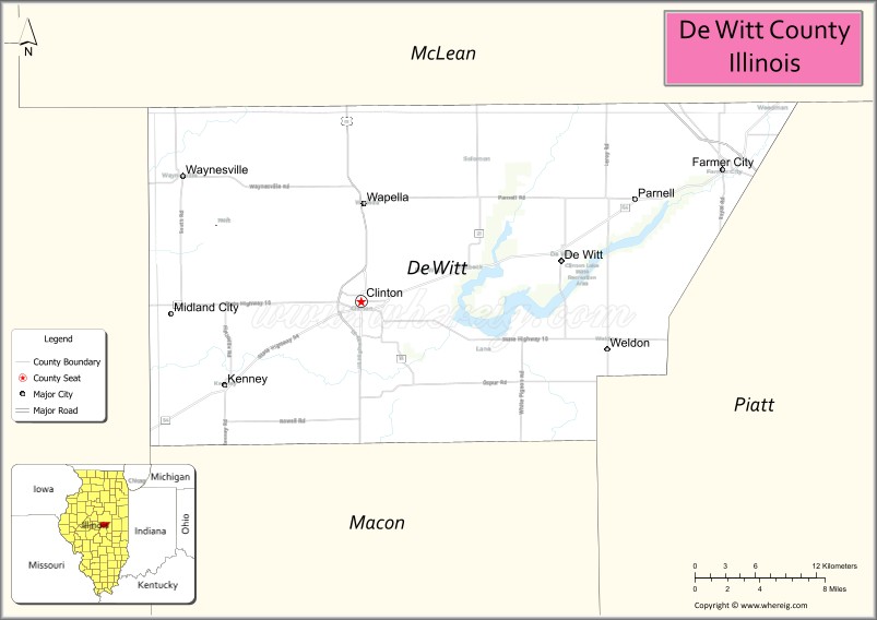
About DeWitt County Map, Illinois: The map showing the county boundary, county seat, major cities, highways, water bodies and neighbouring counties.
Most Viewed Illinois Links
DeWitt County, Illinois
DeWitt County is a county located in the U.S. state of Illinois. It's county seat is Clinton. As per 2020 census, the population of DeWitt County is 15341 people and population density is square miles. According to the United States Census Bureau, the county has a total area of 397 sq mi (1,028 km2). DeWitt County was established on 1839.
Facts about DeWitt County, Illinois
| Country | United States |
| State | Illinois |
| Region | Central Illinois |
| County Seat | Clinton |
| Named After | DeWitt Clinton |
| Established | 1839 |
| Organized | 1839 |
| Coordinates | 40.18° N, 88.90° W |
| Total Area | ~397 sq mi |
| Land Area | ~395 sq mi |
| Water Area | ~2 sq mi |
| Population (2020) | ~15,638 |
| Population Rank | Small-sized county in Illinois |
| Largest City | Clinton |
| Main Industries | Agriculture, Manufacturing, Energy, Healthcare |
| Major Highway | Interstate 74 |
| Time Zone | Central Time (UTC−06:00) |
| Known For | Clinton Lake, agricultural production, central Illinois communities |
| Website | https://dewittcountyillinois.com |