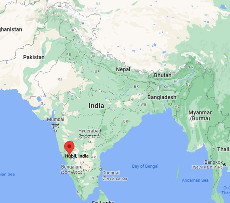
Where is Hubli Located, India?
Written and Fact-checked by Whereig Web Team | Updated On: November 09, 2025, 09:10 IST
Where is Hubli located? Hubballi, is a city in the Indian state of Karnataka. Check Hubli city facts, area, population, places to visit in Bhilai, Bhilai pin code, std code, and information about highways and nearest airport.
Location Map of Hubli, India

Where is Hubli Located?
Hubballi, is a city in the Indian state of Karnataka. Hubli lies between 15°21′0.78″ North latitudes and 75°08′15.45° East longitudes. The city covers an area of about 404 km² with a population of 943857 people.
