Where is Central Falls Located? - Central Falls is a city located in the Providence County of Rhode Island, United States. Central Falls lies between 39.6895036 Degrees North latitudes and 84.1688274 Degrees West longitudes.
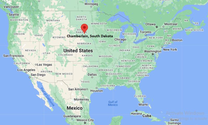
Location Map of Chamberlain, South Dakota

Central Falls Map, Rhode Island, USA
Where is Central Falls?: The Google Map showing the location of Central Falls in the U.S. state of Rhode Island.
Where is Central Falls Located?
Central Falls is a city located in the Providence County of Rhode Island, United States. Central Falls lies between 39.6895036 Degrees North latitudes and 84.1688274 Degrees West longitudes. According to 2020 U.S.census, the population of Central Falls city is 22583 people and the city has a total area of 1.2 sq mi. The city has numerous parks and recreational facilities.
Most Viewed US Maps
Central Falls City Facts, Rhode Island
| City Name | Central Falls |
| County | Providence County |
| State | Rhode Island |
| Country | United States |
| U.S. Region | New England |
| Coordinates | 41.8906553° N, 71.3922785° W |
| Latitude | 41.8906553 |
| Longitude | -71.3922785 |
| Population (2020 Census) | 22583 |
| Population Density (Sq mi) | 19704 |
| Area (Sq mi) | 1.2 |
| Currency | US Dollar, $ (USD) |
| Time Zone | Eastern Time - UTC?05:00 (Standard), UTC?04:00 (DST) |
More Rhode Island Maps & Info
- Where is Ashaway
- Where is Bradford
- Where is Carolina
- Where is Central Falls
- Where is Chepachet
- Where is Cranston
- Where is Cumberland Hill
- Where is East Providence
- Where is Greene
- Where is Greenville
- Where is Harmony
- Where is Harrisville
- Where is Hope Valley
- Where is Kingston
- Where is Melville
- Where is Misquamicut
- Where is Narragansett Pier
- Where is Newport
- Where is Newport East
- Where is Pascoag
- Where is Pawtucket
- Where is Providence
- Where is Quonochontaug
- Where is Tiverton
- Where is Valley Falls
- Where is Warwick
- Where is Weekapaug
- Where is Westerly
- Where is Woonsocket
- Where is Wyoming
