Map of Adams County - Adams County is a county located in the U.S. state of Iowa. Adams County Map showing cities, highways, important places and water bodies. Get Where is Adams County located in the map, major cities in Adams county, population, areas, and places of interest.
Adams County Map, Iowa
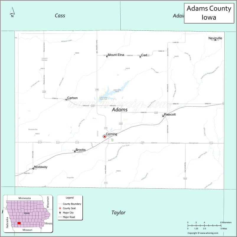
About Adams County Map, Iowa: The map showing the county boundary, county seat, major cities, highways, water bodies and neighbouring counties.
More Iowa Maps & Info
| Iowa Map | Iowa County Map | Iowa Cities Map |
| Iowa Zip codes | Where is Iowa | Airports in Iowa |
| Iowa Area Codes | Iowa Blank Map | Iowa River Map |
| Iowa Physical Map | Iowa Road Map | Where is Des Moines |
Map of Adams County, Iowa
Adams County is a county located in the U.S. state of Iowa. It's county seat is Corning. As per 2020 census, the population of Adams County is 3641 people and population density is square miles. According to the United States Census Bureau, the county has a total area of 424 sq mi (1,098 km2). Adams County was established on -17881.
Adams County Facts
| County Info | Facts |
|---|---|
| County | Adams County |
| County Seat | Corning |
| State | Iowa |
| Country | United States |
| FIPS code | 3 |
| Established | -17881 |
| Area | 424 sq mi (1,098 km2) |
| Population | 3641 |
| Density | |
| Formed / Origin | Taylor County |